Alert
Alerts
Type of practice
Walking
Very easy
1h


Presentation
Description
Map
Ratings and reviews
See around
Chapelle Saint-Jean

IGN cards
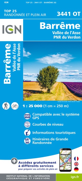
3441OT - BARRÊME VALLÉE DE L'ASSE PNR DU VERDON
Editor : IGN
Collection : TOP 25 ET SÉRIE BLEUE
Scale : 1:25 000
13.90€
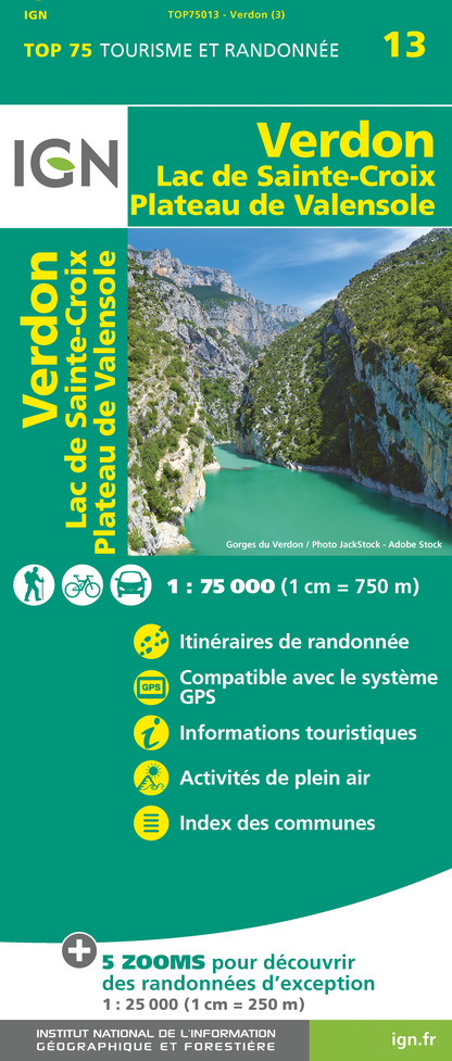
TOP75013 - VERDON LAC DE SAINTE-CROIX PLATEAU DE VALENSOLE
Editor : IGN
Collection : TOP 75
Scale : 1:75 000
9.80€

VEL06 - LE VAR A VELO
Editor : IGN
Collection : DECOUVERTE A VELO
Scale : 1:110 000
9.10€

TOP100D04 - ALPES-DE-HAUTE-PROVENCE DIGNE MANOSQUE PNR DU VERDON LAC DE SERRE-PONÇON
Editor : IGN
Collection : TOP 100
Scale : 1:100 000
8.40€

TOP100D06 - ALPES-MARITIMES NICE CÔTE D'AZUR PARC NATIONAL DU MERCANTOUR PNR DES PRÉALPES D'AZUR
Editor : IGN
Collection : TOP 100
Scale : 1:100 000
8.40€

D83 VAR
Editor : IGN
Collection : CARTES DÉPARTEMENTALES IGN
Scale : 1:150 000
5.90€

D04-05 ALPES-DE-HAUTE-PROVENCE HAUTES-ALPES
Editor : IGN
Collection : CARTES DÉPARTEMENTALES IGN
Scale : 1:150 000
5.90€

D06 ALPES-MARITIMES
Editor : IGN
Collection : CARTES DÉPARTEMENTALES IGN
Scale : 1:150 000
5.90€

NR14 AUVERGNE-RHÔNE-ALPES RECTO/VERSO MASSIF CENTRAL
Editor : IGN
Collection : CARTES RÉGIONALES IGN
Scale : 1:250 000
6.80€

NR16 PROVENCE-ALPES-CÔTE D'AZUR
Editor : IGN
Collection : CARTES RÉGIONALES IGN
Scale : 1:250 000
6.80€

NR15 AUVERGNE-RHÔNE-ALPES RECTO/VERSO MASSIF ALPIN
Editor : IGN
Collection : CARTES RÉGIONALES IGN
Scale : 1:250 000
6.80€

EUROPE
Editor : IGN
Collection : DÉCOUVERTE DES PAYS DU MONDE IGN
Scale : 1:2 500 000
7.00€
Description
Family walk to the promontory of Chapelle Saint Jean, marking the first site of Barrême.
Technical Information
Walking
Difficulty
Very easy
Duration
1h
Dist.
1.7 km
Type of practice
Walking
Very easy
1h
Show more
Altimetric profile
Starting point
Place de l'église
,
04330
Barrême
Lat : 43.9538Lng : 6.3697
Additional information
Updated by
Office de Tourisme Intercommunal Verdon Tourisme - 18/04/2025
www.verdontourisme.com
Report a problem
Contact
Phone : 04 92 89 02 39
Email : saintandrelesalpes@verdontourisme.com
Website : www.verdontourisme.com
Topo guides and map references
Map references :
Set of 2 Verdon Tourisme maps of the Saint André and Barrême areas and of the Verdon gorges, from La Palud-sur-Verdon to Castellane.
Animals accepted
Animals are accepted.
Data author

Ratings and reviews
To see around