Alert
Alerts
Sentier Blanc-Martel


IGN cards




Description
In the heart of the Gorges du Verdon, the Blanc-Martel trail is the best-known hike in the Canyon, and the only one that allows you to walk along the river at the bottom of the Gorges. It takes its name from Alfred-Edouard Martel and Isidore Blanc.
The Blanc-Martel trail is a one-way trip between Chalet de la Maline in La Palud-sur-Verdon and Point Sublime in Rougon. During the season, shuttles depart from La Palud-sur-Verdon (dep. 8:30-9:30-10:30 depending on the season), dropping you off at Chalet de la Maline in the morning and picking you up at Point Sublime at the end of the afternoon (15:30-16:30-17:30 depending on the season) and taking you back to La Palud-sur-Verdon. Online reservations only: navette.parcduverdon.fr .
A cab service is also available (06 68 18 13 13 and 06 20 32 87 47), also bookable in advance.
A few precautions should be taken before embarking on this 16 km hike in the heart of the Gorges: 2 liters of water minimum per person, good walking shoes, protective gear depending on the weather, and a flashlight. Allow around 5h30 for the walk, without breaks.
From the Chalet de la Maline, follow the GR®4 (white and red markings)d down to the bottom of the gorge (many twists and turns, so stay on the path!). Take the stairs to the pas d'Issane (tricky climb!). Reach the intersection.
1 - At the intersection, at the foot of the switchbacks, turn left towards Point Sublime (sign). Follow the Verdon as far as the Guègue steps (descend with care!). Continue on the path that rises above the Verdon, opposite Baume aux Bœufs, to reach a second intersection.
2 - At the intersection, turn left towards the Point Sublime and continue to the Brèche Imbert (difficult climb!). If you turn right at this intersection, you'll see the confluence of the Verdon and Artuby rivers (1 km round trip, marked in yellow).
3 - The Imbert gap marks the halfway point. Before starting the descent, you can access the belvedere by carefully climbing the rock on the right (tricky climb with handrail!). Descend the steep, narrow metal staircase to the Brèche Imbert (for those prone to vertigo, this is a tricky passage!), which can be quite impressive (take care when crossing!). Descend a few hairpin bends to the edge of the Verdon, level with the Baume aux Chiens (technical passages!). From this point, keep walking until you reach the first tunnel (110 m), then a second, much longer one (668 m). The exit from the last tunnel joins one of the narrowest sections of the gorge, the Samson couloir. Descend to river level, then cross the torrent du Bau by a small bridge and climb back up to the Samson belvedere (turnaround area for a dead-end road).
4 - Cross the turnaround to the left. Continue along the path above the road, skirting the foot of the cliff (150 m ascent!). You come out onto the main road. From here, turn left towards Point Sublime.
Technical Information
Altimetric profile
Starting point
Points of interest
Additional information
Open period
Open every day.
Subject to snow conditions.
Updated by
Office de Tourisme Intercommunal Verdon Tourisme - 01/12/2025
www.verdontourisme.com
Report a problem
Environments
Riverside
Near shuttle stop
Close to a public transportation
Close to GR footpath
Waterside
Overview on river
Contact
Phone :
04 92 74 68 00
04 92 83 76 89
Email : contact@verdontourisme.com
Website :
https://navette.parcduverdon.fr/offre/aller-retour-navette
http://www.parcduverdon.fr/
Type of land
Rock
Stone
Ground
Grit
Not suitable for strollers
Location complements
Departure point:
Chalet de la Maline, La Palud sur Verdon, 7.5 km from La Palud-sur-Verdon. Parking: Chalet de la Maline (refuge).
Arrival point:
Point Sublime in Rougon, 10km from La Palud-sur-Verdon.
Limit car travel, think public transport!
Access by public transport is via regional line B450 between Riez and Castellane and the "Blanc-Martel" shuttle run by the Parc du Verdon. Regional line 450 between Riez and Castellane (daily from May 1 to September 30). Stop at La Palud to take the Blanc-Martel shuttle (mid-June to early November), which will drop you off at the trailhead and pick you up again at the end to return to La Palud-sur-Verdon.
Find all the timetables for the 450 line at zou.maregionsud.fr and for the shuttle at navete.parcduverdon.fr.
Local cabs are also available to take you to the trailhead and pick you up on arrival.
Topo guides and map references
Topo guides references :
www.cheminsdesparcs.fr/pedestre/la-palud-sur-verdon-le-sentier-blanc-martel/
Map references :
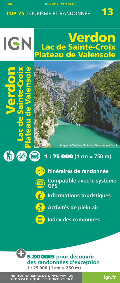
Map of 32 hikes around the Gorges du Verdon, from La Palud-sur-Verdon to Castellane,
Map of hikes in the Parc Naturel Régional du Verdon,
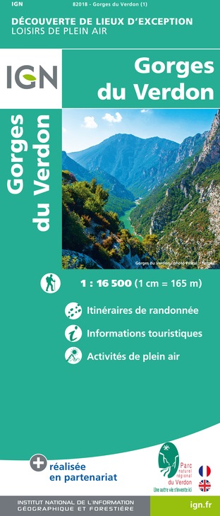
Gorges du Verdon AIO map.
Reception complements
Not recommended for children under 8.
Tricky passages
Dogs and mountain bikes are not allowed on this trail, and children under 8 are not recommended.
To be avoided if you are prone to vertigo, or to be done in the opposite direction.
Caution: if you approach the banks, the water level may change rapidly as a result of water releases from upstream dams.
Bring hiking boots, a torch, 3 L of water per person, energy food, warm clothing and a hat.
Please note: this trail is not a loop, but a one-way trip between La Maline and Point Sublime.
Tricky passages: ladders, scree, slippery rocks, tunnels.
Animals
No

