Alert
Alerts
Le Tour de Robion


IGN cards
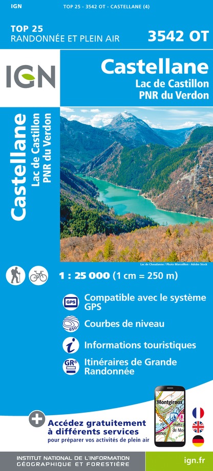
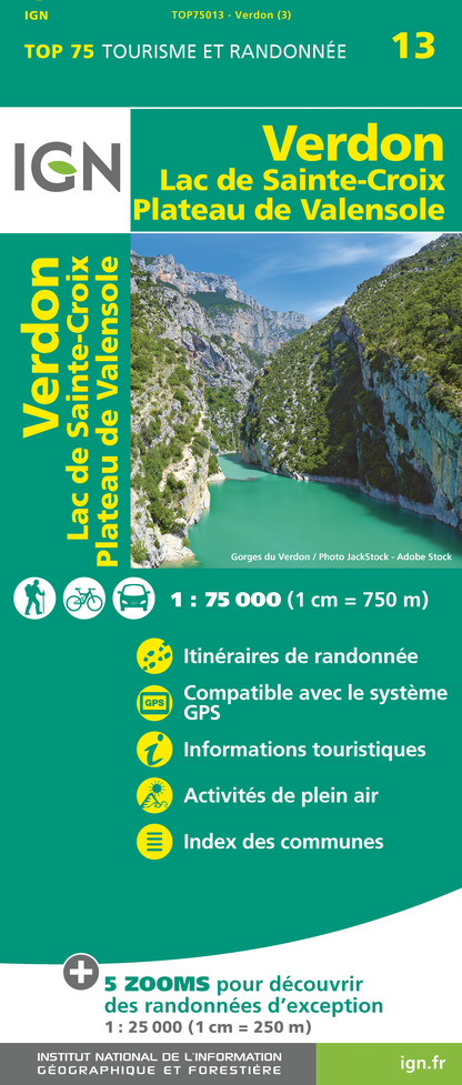

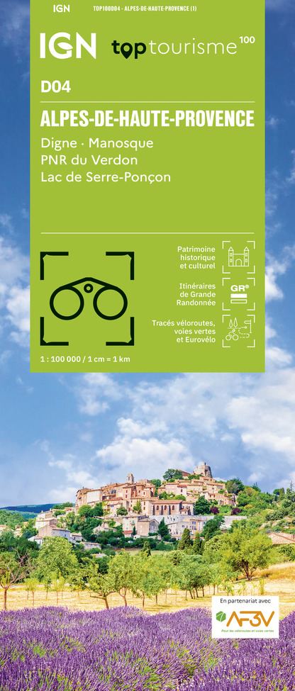


Description
Pleasant path overlooking the Verdon, then passing through the hamlet of Robion, near the chapels of Sainte Trophime and Sainte Thyrs.
From Castellane, take the route de Robion (D102) behind the swimming pool. After 2km, park in the parking lot on the left.
Take the footpath on the right of the road below and descend to a small stream. The path climbs a little steeply and reaches the crossroads of the path leading to the summit of Montagne de Robion. Leave this path to the left and continue straight ahead. Enjoy a magnificent view of Cadières de Brandis and the small village of Taloire. At the next crossroads, stay on the same path to reach La Colle. Turn left downhill towards Fontpuge, where you'll find a ruined house. Follow the signs to reach the hamlet of Basse de la Doux. Then make a 90° turn to reach the small village of Robion. In the village, follow the D302 in the direction of Chapelle St Thyrs. Shortly before the chapel, a track leads off to the right, avoiding the road. End up at the chapel. Turn left to reach the junction of the D302 and D102. Turn right onto a small path under the road, which leads around a bend. Cross the road, the path bends to the right and, at the exit, turn immediately left to rejoin the signposted path. Rejoin the parking lot.
Below is an alternative route:
Take the small bridge on your right. After the bridge, turn left onto the track that leads to the Maison du Brec. After 2 bends, the path continues straight ahead; do not turn right as this is private property. Continue north-east to the Col de Colle Meillane.
Take an old, faint path on the left, which runs under the power line.
Note: if it's hard to find, continue along the track, which leads you to the road to the dump near the parking lot.
Overlook the gorges, but beware: there is also a somewhat aerial passage. Rejoin the track and then the route de la décharge.
Turn left onto the road to reach the starting parking lot. Follow the signposts, which take you along the departmental road, not too busy with cars, but not very pleasant.
Technical Information
Altimetric profile
Starting point
Additional information
Reception conditions for animals
Warning: you are in a pastoral zone, where guard dogs (patous) may be present.
Keep your dogs on a leash.
Updated by
Castellane Tourisme - 22/09/2024
Report a problem
Open period
All year round.
Contact
Phone : 04 92 72 59 12
Type of land
Not suitable for strollers
Topo guides and map references
Map references :
32 Hiking trails around the Gorges du Verdon, from La Palud-sur-Verdon to Castellane.
