Alert

Alerts

To see around
See more
Open
Close
Show
Show
Show
Show
Show
Show
Show
Show
Show
Show
Show

Oups... It would appear that Cirkwi does not have permission to use your location.

Presentation
Description
Map
Ratings and reviews
See around

Chapelle Saint-Martin

Chapelle Saint-Martin

IGN cards

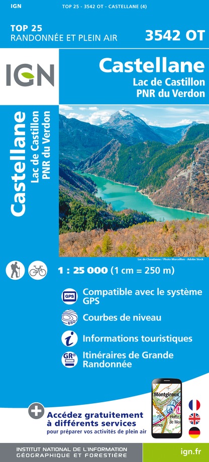
3542OT - CASTELLANE LAC DE CASTILLON PNR DU VERDON
Editor : IGN
Collection : TOP 25 ET SÉRIE BLEUE
Scale : 1:25 000
13.90€
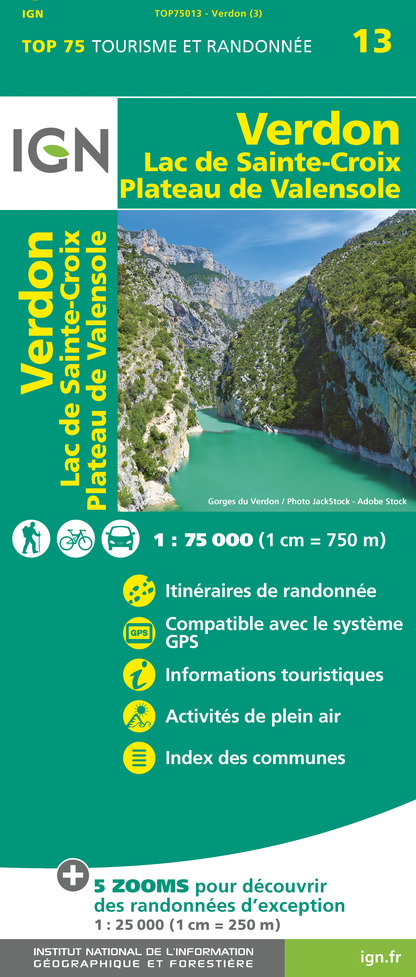
TOP75013 - VERDON LAC DE SAINTE-CROIX PLATEAU DE VALENSOLE
Editor : IGN
Collection : TOP 75
Scale : 1:75 000
9.80€
VEL06 - LE VAR A VELO
Editor : IGN
Collection : DECOUVERTE A VELO
Scale : 1:110 000
9.10€
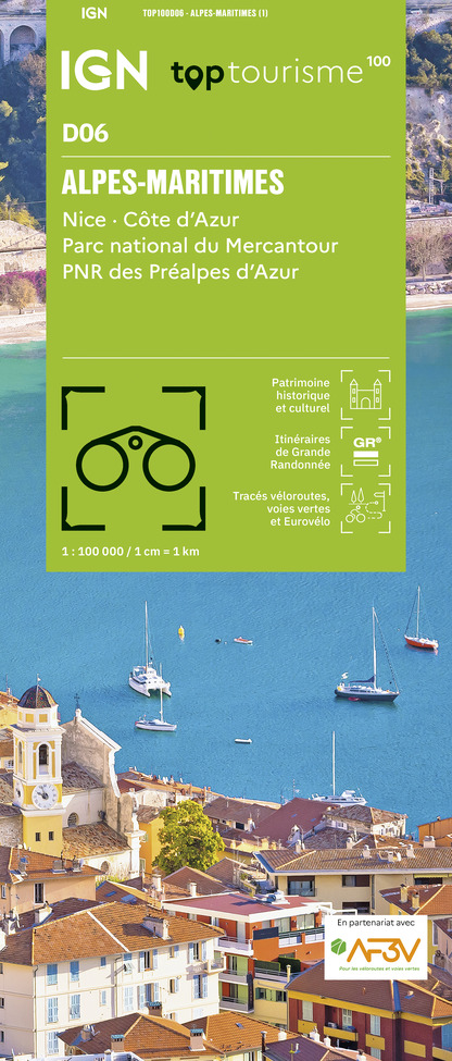
TOP100D06 - ALPES-MARITIMES NICE CÔTE D'AZUR PARC NATIONAL DU MERCANTOUR PNR DES PRÉALPES D'AZUR
Editor : IGN
Collection : TOP 100
Scale : 1:100 000
8.40€
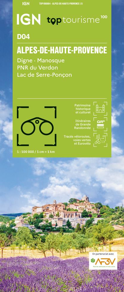
TOP100D04 - ALPES-DE-HAUTE-PROVENCE DIGNE MANOSQUE PNR DU VERDON LAC DE SERRE-PONÇON
Editor : IGN
Collection : TOP 100
Scale : 1:100 000
8.40€
TOP100D83 - VAR TOULON FRÉJUS MASSIFS DES MAURES ET DE L'ESTEREL PARC NATUREL RÉGIONAL DU VERDON
Editor : IGN
Collection : TOP 100
Scale : 1:100 000
8.40€
D04-05 ALPES-DE-HAUTE-PROVENCE HAUTES-ALPES
Editor : IGN
Collection : CARTES DÉPARTEMENTALES IGN
Scale : 1:150 000
5.90€
D06 ALPES-MARITIMES
Editor : IGN
Collection : CARTES DÉPARTEMENTALES IGN
Scale : 1:150 000
5.90€
D83 VAR
Editor : IGN
Collection : CARTES DÉPARTEMENTALES IGN
Scale : 1:150 000
5.90€
NR16 PROVENCE-ALPES-CÔTE D'AZUR
Editor : IGN
Collection : CARTES RÉGIONALES IGN
Scale : 1:250 000
6.80€
NR14 AUVERGNE-RHÔNE-ALPES RECTO/VERSO MASSIF CENTRAL
Editor : IGN
Collection : CARTES RÉGIONALES IGN
Scale : 1:250 000
6.80€
NR15 AUVERGNE-RHÔNE-ALPES RECTO/VERSO MASSIF ALPIN
Editor : IGN
Collection : CARTES RÉGIONALES IGN
Scale : 1:250 000
6.80€
EUROPE
Editor : IGN
Collection : DÉCOUVERTE DES PAYS DU MONDE IGN
Scale : 1:2 500 000
7.00€

Description

This trail leads to the chapel of Saint Martin, erected at the foot of the imposing rock of the same name, the first parish church in the village of La Garde.

From Castellane, take the Route Napoléon to the village of La Garde. Cross the village. At the first sharp bend on the left, take the Chemin des Gravières to the Chapelle Saint-Martin. From La Garde, the route climbs into the Teillon foothills. Follow the path, which bends to the right, climbs under the cliffs and then continues sideways over the Gravières ravine (steep sections). After 1,200 m, at the junction for the climb to the summit of Teillon, you'll find a waymarker. Take the left-hand path on the adret of the Gravières. Descend to the left, cross the valley and continue on the opposite slope. The path enters the forest and joins the GR®4 after 1500m, at a place called "la Bauche", to descend to the village, opposite the inn.

Caution: park in the village and take the Chemin de St Martin on foot, as access is reserved for local residents.

Technical Information

Walking
Difficulty
Very easy
Duration
2h30mn
Dist.
5 km
Show more

Altimetric profile

Starting point

Parking Route Napoléon , 04120   La Garde
Lat : 43.8304Lng : 6.5577

Additional information

Updated by

Office de Tourisme Intercommunal Verdon Tourisme - 24/06/2024
www.verdontourisme.com
Report a problem

Open period

All year round.

Type of land

Not suitable for strollers

Topo guides and map references

Map references :
32 Hiking trails around the Gorges du Verdon, from La Palud-sur-Verdon to Castellane.

Ratings and reviews

To see around
See more
Open
Close
Show
Show
Show
Show
Show
Show
Show
Show
Show
Show
Show
Caution!
We have no information on the difficulty of this circuit. You may encounter some surprises along the way. Before you go, please feel free to inquire more and take all necessary precautions. Have a good trip! 🌳🥾