Alert
Alerts
Type of practice
Walking
Medium
2h
Presentation
Description
Map
Ratings and reviews
See around
L'Antrogne


Credit : MTBA
IGN cards

105 CHARLEVILLE-MÉZIÈRES VERDUN FÔRET DES ARDENNES VALLÉE DE LA MEUSE
Editor : IGN
Collection : TOP 100
Scale : 1:100 000
8.40€

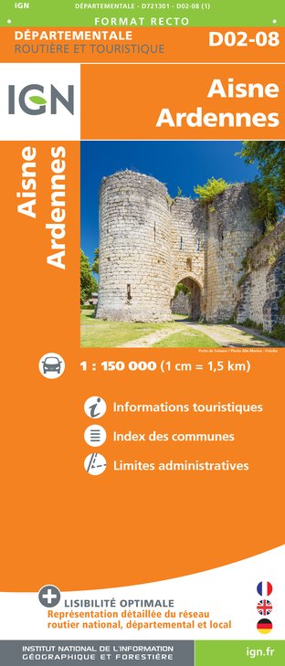
D02-08 AISNE ARDENNES
Editor : IGN
Collection : CARTES DÉPARTEMENTALES IGN
Scale : 1:150 000
5.90€

EUROPE
Editor : IGN
Collection : DÉCOUVERTE DES PAYS DU MONDE IGN
Scale : 1:2 500 000
7.00€

PAYS-BAS BELGIQUE LUXEMBOURG
Editor : IGN
Collection : DÉCOUVERTE DES PAYS DU MONDE IGN
Scale : 1:300 000
7.00€
Description
The highlight of the hike is at the lowest point: the mouth of the Antrogne in the Semois. Nice path through the deciduous forests before arriving at the bathing resort. However, this path is in bad shape at the start.
Technical Information
Walking
Difficulty
Medium
Duration
2h
Dist.
9.3 km
Type of practice
Walking
Medium
2h
Show more
Altimetric profile
Starting point
6887
Herbeumont
Lat : 49.78099Lng : 5.23765
Additional information
Signalétique (EN)
All - Right-angled triangle - Blue
Data author

proposed by
Pays de Bouillon en Ardenne
Ratings and reviews
To see around