Alert
Alerts
La vallée de la Valserine


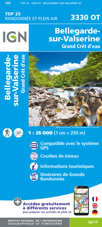
IGN cards


Description
You will have the opportunity to discover a lot of exceptionnal and beautiful must-sees while walking along the river Valserine such as the Pertes and the Pont des Pierres (a bridge made of stones). Then, keep walking until you reach the famous Voie du Tram in order to find out more about the history of the trolley.
1. Go down the path towards the Pertes de la Valserine.
2. In a bend, turn left and walk along the right bank of the Valserine, as far as the Pont de Coz.
3. Go right and go towards the Comfort bridge (possible access to the Mêlée des Eaux, confluence of the Valserine and the Semine (10 min).
For the short variant of 3:30, cross the Comfort bridge and climb without leaving the wide path that leads to the tarmac road (Pelant road to Confort), then follow the Tramway towards Lancrans and find the path that leads to Losses of the valserine.
4. Do not cross the Comfort bridge. Before the bridge, return to the road, follow it uphill, then turn right in a bend, the path that leads to the Moulin des Pierres on the D14a.
5. Just before joining the road, admire the view of the Pont des Pierres from the belvedere.
Take the road on the left for 50m then cross it to join the path opposite and follow it to the right parallel to the road to reach the Pont des Pierres.
6. Cross the bridge and at its exit take the Voie du Tram on the right to the old Mulaz station.
7. Continue towards Confort and cross the village.
8. After the retirement home, turn right onto Voie du Tram, it leads to an intersection near Lancrans with the GR9 / GTJ.
9. Fork to the right, then go down to find the Pertes de la Valserine, cross the Pont des Oulles.
10. By the route taken on the outward journey, reach the D1084 car park or Bellegarde town center via the GR.
Technical Information
Altimetric profile
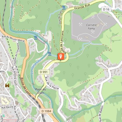
Starting point
Points of interest
Additional information
Updated by
Terre Valserhône Tourisme - 09/10/2024
www.terrevalserhone-tourisme.fr/
Report a problem
Tips
There is another way which is shorter : 13 km (4h30)
Environments
In the country
Riverside
Mountain view
Waterside
Reception conditions for animals
Please, keep your animal on a leash.
Open period
All year round.
Type of land
Rock
Ground
Contact
Phone : 04 50 48 48 68
Email : tourisme@terrevalserhone.fr
Website : www.terrevalserhone-tourisme.fr/
Facebook : www.facebook.com/terrevalserine
Topo guides and map references
Map references :
Map of the walks and hikes in the Terre Valserine region sold at the tourist office of Bellegarde-sur-Valserine.
Data author


