Alert
Alerts
Camisards to Maquisards trail


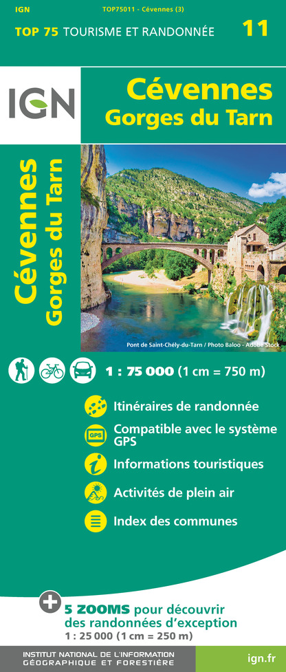
IGN cards



Description
A stroll through history: the Camisards; the bourgeois homes of the sericulture era; the maquisards, those groups who resisted the STO...
Stroll the narrow streets and discover the little stores that make Lasalle so rich today.
A walk through history that takes you back to the time of the Camisard revolt, when Roland, a Camisard leader, was madly in love with Marthe Bringuier, who lived in the Château de Cornély... the great adventure of silk in the Cévennes, and the 12 Lasalle spinning mills that line the river... and the maquisards who, during the Second World War, formed groups of STO resistance fighters...
Today, Lasalle is a peaceful village, and the views all along the trail will open up to you.
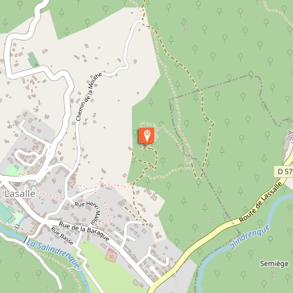
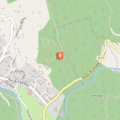
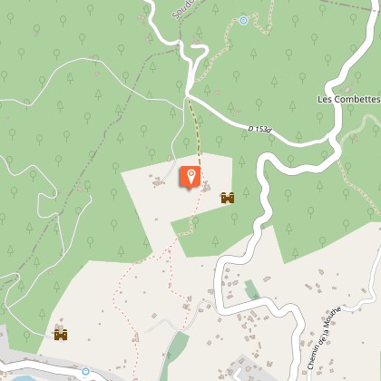
The trail leaves the village center and climbs to the heights of Lasalle. Cross the village and join the right bank of the Salindrenque. Along the way, you'll find bits and pieces of the region's history through its landscape and the work of man. Calades, mazets, terraces, spinning mills and castles vividly portray a Cévennes history marked by resilience and perseverance.
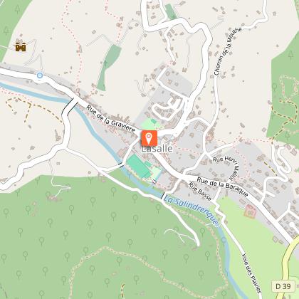
Departure : Lasalle - Tourist Office
Duration: 2 h *Variant via Ste Croix de Caderle 3 h 45
Length: 5.8 km *Variant via Ste Croix de Caderle 11.2 km
Difficulty: no difficulty
Mountain bike access: impassable
Difference in altitude: 350 m
Marking: yellow
Pets on leash
Bring good shoes and water
Download the information sheet.
Find out more about the itinerary on the Parc national des Cévennes website: sentier des Camisards aux Maquisards
Technical Information
Altimetric profile
Starting point
Steps
Points of interest
Additional information
Updated by
Office de Tourisme Mont Aigoual Causses Cévennes - 16/07/2024
Report a problem
Environments
In the country
Mountain location
Close to a public transportation
Waterside
Open period
All year round.
Contact
Phone : 04 66 85 27 27
Email : lasalle@sudcevennes.com
Website : destination.cevennes-parcnational.fr/trek/74634-des-camisards-aux-maquisards
Type of land
Ground
Topo guides and map references
Topo guides references :
Topoguide Cévennes et Vallées de Gardons €5
