Alert
Alerts
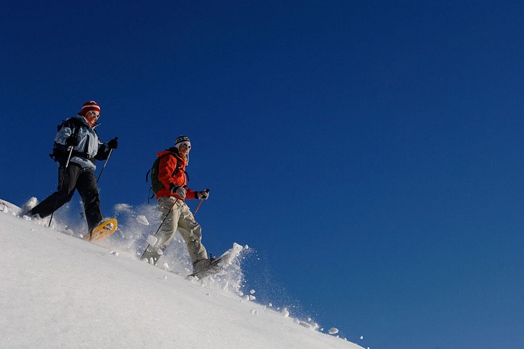
Snowshoe path : le Mont de la Chambre
IGN cards


Description
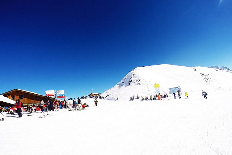
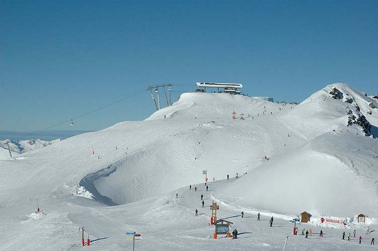
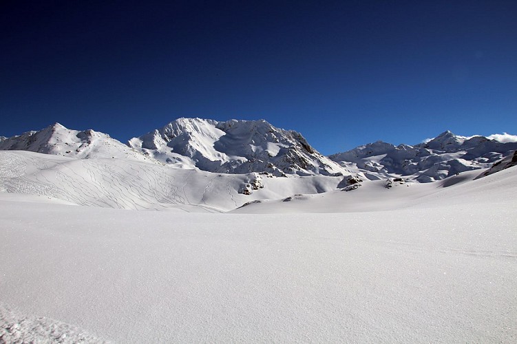
Footpath accessible by Les Bruyères gondola. Panoramic view of the 3 Valleys and highest Alpine summits (Mont Blanc, Aiguilles d'Arves, Grande Casse, etc).
The path runs alongside the piste so please be careful of skiers and follow the signs.
Departure point : Top of Les bruyères gondola
Access from Les Bruyères mid-station or from the summit.
Departure altitude : 2850 m
Highest point : 1850 m
Time: 3.5 hours
Walking map (available in the different Tourist Offices) : path n°4
To note: Route signposted downhill only but possible in the uphill direction without taking the ski lifts.
The path runs alongside the piste so please be careful of skiers and stay on the path.
Technical Information
Altimetric profile
Starting point
Additional information
Contact
Phone : 04 79 00 73 00
Email : contact@lesmenuires.com
Open period
From 17/12 to 21/04.
Updated by
Office de Tourisme des Menuires - 11/11/2020
Report a problem
Data author
