Alert
Alerts
Type of practice
Walking
Hard
4h25mn
Presentation
Description
Map
Steps
Points of interest
Ratings and reviews
See around
De Sainte-Engrâce à La Pierre-Saint-Martin


IGN cards

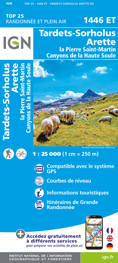
1446ET - TARDETS-SORHOLUS-ARETTE LA PIERRE ST-MARTIN CANYONS DE LA HAUTE SOULE
Editor : IGN
Collection : TOP 25 ET SÉRIE BLEUE
Scale : 1:25 000
13.90€

TOP75023 - PAYS BASQUE
Editor : IGN
Collection : TOP 75
Scale : 1:75 000
9.80€

166 DAX BAYONNE PAYS BASQUE
Editor : IGN
Collection : TOP 100
Scale : 1:100 000
8.40€

TOP100D64 - PYRÉNÉES-ATLANTIQUES PAU BAYONNE BIARRITZ PAYS BASQUE BÉARN
Editor : IGN
Collection : TOP 100
Scale : 1:100 000
8.40€

89030 - TRAVERSEE DES PYRENEES GR10®
Editor : IGN
Collection : DECOUVERTE DES CHEMINS
Scale : 1:100 000
9.10€

D64 PYRÉNÉES-ATLANTIQUES
Editor : IGN
Collection : CARTES DÉPARTEMENTALES IGN
Scale : 1:150 000
5.90€

NR11 NOUVELLE-AQUITAINE RECTO/VERSO BASSIN AQUITAIN
Editor : IGN
Collection : CARTES RÉGIONALES IGN
Scale : 1:250 000
6.80€

NR10 NOUVELLE-AQUITAINE RECTO /VERSO LIMOUSIN POITOU
Editor : IGN
Collection : CARTES RÉGIONALES IGN
Scale : 1:250 000
6.80€

EUROPE
Editor : IGN
Collection : DÉCOUVERTE DES PAYS DU MONDE IGN
Scale : 1:2 500 000
7.00€
Description
This itinerary first penetrates the intimacy of the canyons and forests of the Haute Soule then
then crosses high altitude pastures animated by huge herds. The view opens up infinitely to the west as you approach the Pic d'Anie, the first great Pyrenean summit. Orientation can be problematic in foggy weather on the part of the itinerary located outside the forest.
Technical Information
Walking
Difficulty
Hard
Duration
4h25mn
Dist.
11 km
Type of practice
Walking
Hard
4h25mn
Show more
Altimetric profile
Starting point
,
64560
SAINTE-ENGRACE
Lat : 42.9957955Lng : -0.8102392
Steps
Points of interest
Additional information
Balisage
White and red (GR®)
Typologie de l'itinéraire
Walking trail
Hiking Route (GR®)
Thèmes
Natural
Data author

proposed by
Office de Tourisme Pays Basque
64502 France
Ratings and reviews
To see around


