Alert
Alerts
Roc des Hourtous

IGN cards




Description
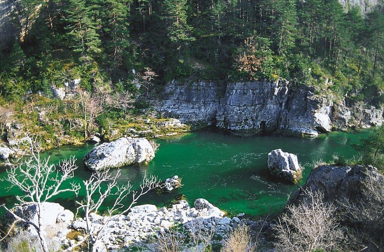
This physically challenging loop leads from the banks of the river Tarn to the Causse Méjean plateau, and offers gorgeous panoramic views onto the Tarn Gorges and the Causse de Sauveterre.
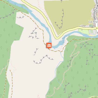
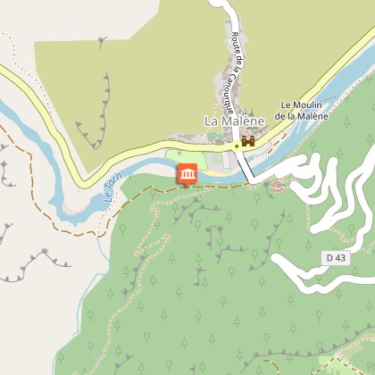
From the carpark in La Malène, cross the river Tarn and take the path on the right after the bridge. Take the first footpath on the left (after 300 m) and climb onto the Causse Méjean plateau. Go through Rieisse and, on leaving the hamlet, continue straight ahead towards the Roc des Hourtous. At the panoramic viewpoint of Les Hourtous, walk past the snack bar on its right to take a path that runs parallel to the ridge for 800 m. Then take the path downhill on the left to join up with the path overlooking the Tarn. Turn right onto it to return to the starting-point.
Technical Information
Altimetric profile
Starting point
Points of interest
Additional information
Departure
La Malène
Arrival
La Malène
Access
From Florac towards Ispagnac / Sainte-Enimie on the D 907 bis
Advised parking
La Malène
Advice
Make sure your equipment is appropriate for the day's weather conditions. Remember that the weather changes quickly in the mountains. Take enough water, wear good shoes and put on a hat. Please close all gates and barriers after yourself.
Data author

