Alert
Alerts
Hiking : Les Alpages d'Arâches


IGN cards


Description
The Pierre à Laya is a “glacial erratic” deposited as the ice retreated.
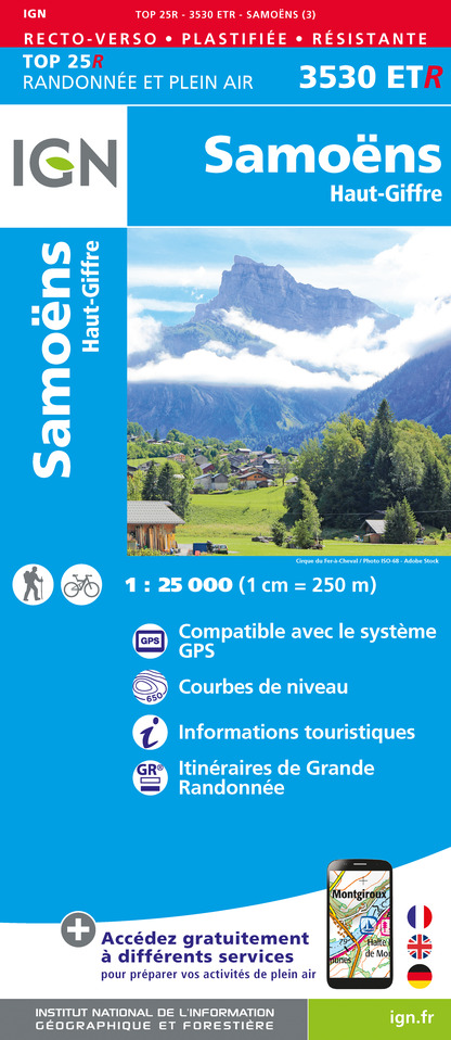
Cross the road and head towards the centre of the village. At the fountain, go left up a one-way street and follow a minor road to a pale-yellow house.During the last glaciation a 200-metre thick glacier covered Arâches. An gentle stroll starting in the village of Arâches.Once upon a time, a giant came down from Flaine to the valley. At Laya, just outside Arâches, he was brought to a halt by a stone digging into his foot. He took off his boot and emptied out a huge rock, which embedded itself into the ground. The giant’s stone still lies in that field at Laya, were it is known as the Pierre à Laya.and the Arve Valley. Type of itinerary : circuit. Maps: IGN Top 25 n° 3530 ET Samoëns Haut-Giffre
Technical Information
Altimetric profile
Starting point
Points of interest


Date and time
- From 15/05/2025 to 01/11/2026
- From 15/05/2026 to 01/11/2027
Additional information
Open period
From 15/05 to 01/11.
Subject to favorable snow and weather conditions.
Updated by
Conseil Départemental de la Haute-Savoie - 13/06/2025
www.hautesavoiexperience.fr
Report a problem
Environments
Mountain view
Mountain location
Contact
Phone : 04 50 90 00 04
Email : carroz@lescarroz.com
Website : https://www.lescarroz.com
Facebook : https://www.facebook.com/pages/Les-Carroz-Page-Officielle/162058727144736?v=wall&ref=mf
Type of land
Ground
Hard coating (tar, cement, flooring)
Location complements
Access (by car): From Cluses, head towards Sallanches (D1205). Then follow signs for Flaine (D6) and Arâches-la-Frasse. Park in the parking lot in front of the church.
Topo guides and map references
Map references :
TOP 25 IGN 3530ET - SAMOËNS
Reception complements
Whatever your hike, remember to pack cereal bars, plenty of water, sunglasses, sunscreen, a small first-aid kit, and the right clothing for your outing, depending on the season and weather forecast.
Guidebook with maps/step-by-step
1/ From the Arâches church parking lot, head for the Chemin du Crève-cœur towards the welcome sign, then left onto the Chemin du Musillon. Follow the Chemin du Musillon up the left-hand path (signposted "sens interdit"). At the Chemin de Querioz sign, continue up to the left of the bachal, between the houses. Then take the first communal path on the right.
2/ Follow the signposts to the "Pierre à Laya" post.
3/ From "Pierre à Laya", continue towards "Le Serveray", passing the following signposts: "Les Communaux", "Musillon de Mont Favy", "Le Saix", "Le Clis" and "Les Genievres".
4/ At the "Le Serverey" sign, continue towards "Arâches", "Centre sportif".
5/ At the Centre sportif, continue straight on towards Arâches. You will pass through "Les Malaichères", "La Rableuse", and "Les Champs" before reaching your starting point in the center of Arâches.
Animals
Yes. Pets allowed on leash only
Data author
