Alert

Alerts

To see around
See more
Open
Close
Show
Show
Show
Show
Show
Show
Show
Show
Show
Show
Show

Oups... It would appear that Cirkwi does not have permission to use your location.

Presentation
Description
Map
Ratings and reviews
See around

Les Tours Saint-Jacques - Les chalets de la Figlia

Les Tours Saint-Jacques - Les chalets de la Figlia

IGN cards

3431OTR - LAC D'ANNECY RESISTANTE
Editor : IGN
Collection : TOP 25 RÉSISTANTE
Scale : 1:25 000
17.20€
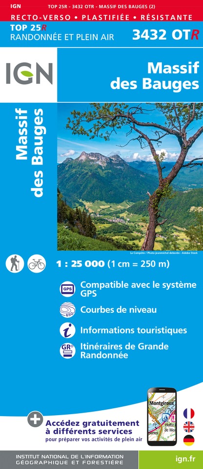
3432OTR - MASSIF DES BAUGES RESISTANTE
Editor : IGN
Collection : TOP 25 RÉSISTANTE
Scale : 1:25 000
17.20€
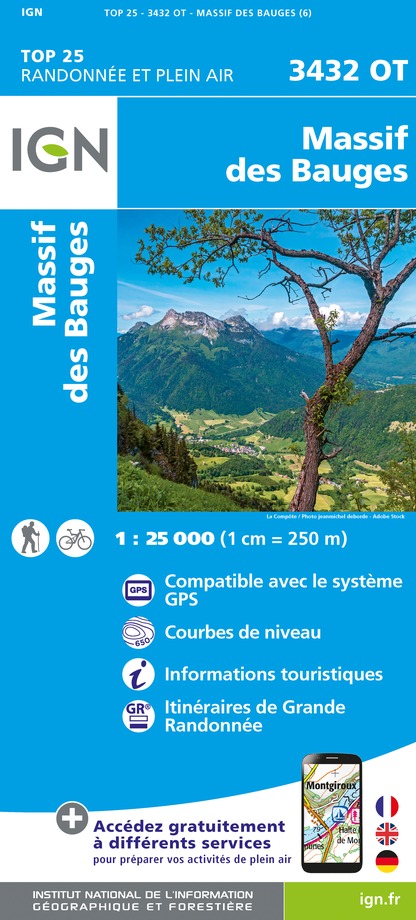
3432OT - MASSIF DES BAUGES
Editor : IGN
Collection : TOP 25 ET SÉRIE BLEUE
Scale : 1:25 000
13.90€
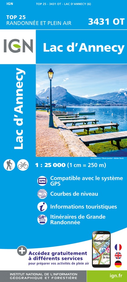
3431OT - LAC D'ANNECY
Editor : IGN
Collection : TOP 25 ET SÉRIE BLEUE
Scale : 1:25 000
13.90€
TOP75032 - CHAINE DES ARAVIS - MASSIF DES BAUGES
Editor : IGN
Collection : TOP 75
Scale : 1:75 000
9.80€
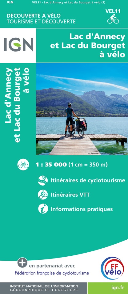
VEL11 - LAC D'ANNECY ET LAC DU BOURGET A VELO
Editor : IGN
Collection : DECOUVERTE A VELO
Scale : 1:35 000
9.10€
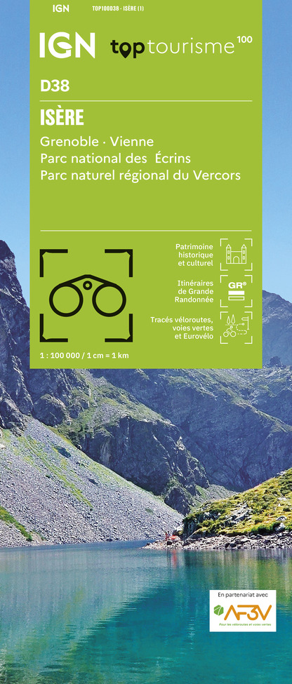
TOP100D38 - ISÈRE GRENOBLE VIENNE PARC NATIONAL DES ÉCRINS PARC NATUREL RÉGIONAL DU VERCORS
Editor : IGN
Collection : TOP 100
Scale : 1:100 000
8.40€
TOP100D73 - SAVOIE CHAMBÉRY ALBERTVILLE PARC NATIONAL DE LA VANOISE PNR DU MASSIF DES BAUGES
Editor : IGN
Collection : TOP 100
Scale : 1:100 000
8.40€
TOP100D74 - HAUTE-SAVOIE ANNECY THONON-LES-BAINS MASSIF DU MONT BLANC CHAÎNE DES ARAVIS
Editor : IGN
Collection : TOP 100
Scale : 1:100 000
8.40€
202 JURA ALPES DU NORD
Editor : IGN
Collection : TOP 200
Scale : 1:200 000
6.80€
89026 - GRANDES TRAVERSÉES DU JURA - GTJ
Editor : IGN
Collection : DECOUVERTE DES CHEMINS
Scale : 1:105 000
9.10€
D38 ISÈRE
Editor : IGN
Collection : CARTES DÉPARTEMENTALES IGN
Scale : 1:150 000
5.90€
D01-69 AIN RHÔNE
Editor : IGN
Collection : CARTES DÉPARTEMENTALES IGN
Scale : 1:150 000
5.90€
NR15 AUVERGNE-RHÔNE-ALPES RECTO/VERSO MASSIF ALPIN
Editor : IGN
Collection : CARTES RÉGIONALES IGN
Scale : 1:250 000
6.80€
NR14 AUVERGNE-RHÔNE-ALPES RECTO/VERSO MASSIF CENTRAL
Editor : IGN
Collection : CARTES RÉGIONALES IGN
Scale : 1:250 000
6.80€
SUISSE
Editor : IGN
Collection : DÉCOUVERTE DES PAYS DU MONDE IGN
Scale : 1:303 000
7.00€
EUROPE
Editor : IGN
Collection : DÉCOUVERTE DES PAYS DU MONDE IGN
Scale : 1:2 500 000
7.00€

Description

The Tours Saint Jacques hike can be done by following different paths, but we have chosen the longest because it has a paved way and will make you see many different landscapes : the gorge of Banges, the village, a beech forest and as well as a glimpse of the local history.
To park, there are several parking lots : the cyclamen and the cemetery parking lots, the latter being the largest. This trail begins at the cyclamen parking lot.

This trail has one drawback : it is more difficult than the others, at least during its first part.

If you have young children, it would be better to follow the shortest route (look at the signs).

Bring a picnic and a walking stick (if you're used to), which will help you reach the towers.

About facilities : there are public lavatories behind the city hall.
Have a nice stroll and take your time, enjoying the rich and beautiful nature around you.

Technical Information

Walking
Difficulty
Medium
Duration
5h30mn
Dist.
9.1 km
Show more

Altimetric profile

Starting point

Place des Cyclamens , 74540   Allèves
Lat : 45.75208Lng : 6.079295

Additional information

Updated by

Office de Tourisme du Lac d'Annecy - 24/06/2024
www.lac-annecy.com
Report a problem

Open period

All year round.

Subject to favorable snow and weather conditions.

Contact

Website : onelink.to/viannecy

Data author

Ratings and reviews

To see around
See more
Open
Close
Show
Show
Show
Show
Show
Show
Show
Show
Show
Show
Show
Caution!
We have no information on the difficulty of this circuit. You may encounter some surprises along the way. Before you go, please feel free to inquire more and take all necessary precautions. Have a good trip! 🌳🥾