Alert
Alerts
Walk
IGN cards


Description
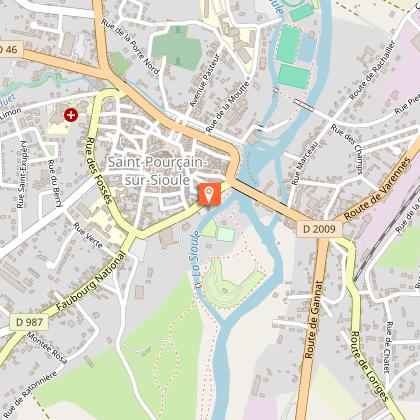
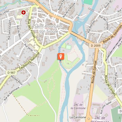
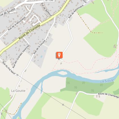
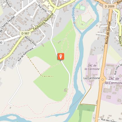
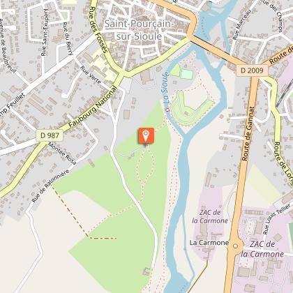
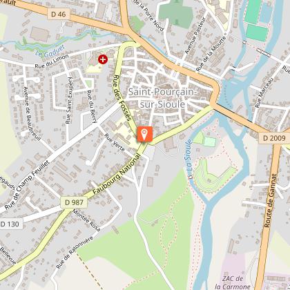
Just a stone's throw from the heart of Saint-Pourçain, a unique path along the banks of the Sioule.
Nature walk aroud the city center of Saint-Pourçain 6km
Technical Information
Altimetric profile
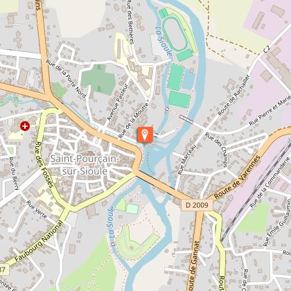
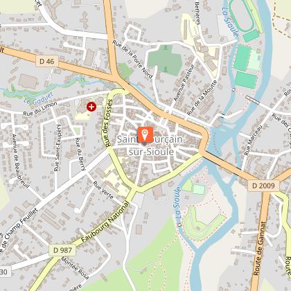
Starting point
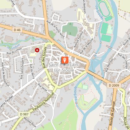
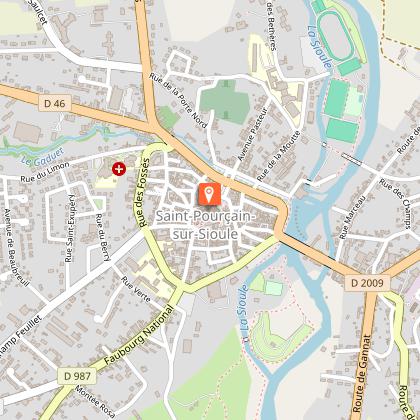
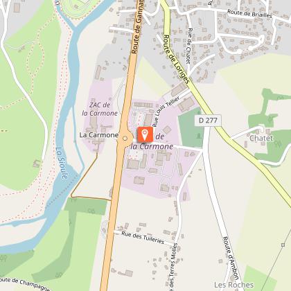
Steps
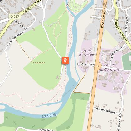
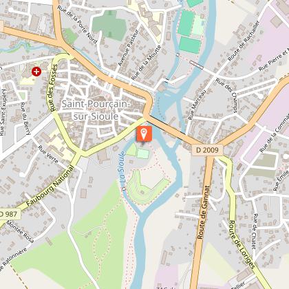
Points of interest


Additional information
Updated by
Office de tourisme Val de Sioule - 24/11/2025
www.valdesioule.com
Report a problem
Open period
All year round.
Contact
Phone : 04 70 45 32 73
Email : accueil@vdstourisme.com
Website : http://www.valdesioule.com
Facebook : https://www.facebook.com/valdesiouletourisme/
Type of land
Groomed trail
Stone
Hard coating (tar, cement, flooring)
Grit
Suitable for city strollers
Suitable for all terrain strollers
Animals
Yes
Data author
