Alert
Alerts
Type of practice
Walking
Medium
Presentation
Description
Map
Steps
Points of interest
Ratings and reviews
See around
La voie du Puy sur le GR® 65 - Arthez-de-Béarn à Maslacq


IGN cards

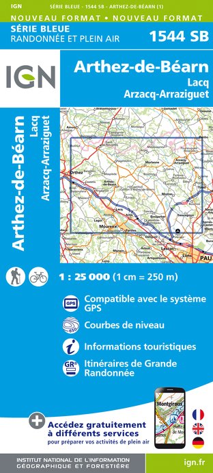
1544SB - ARTHEZ-DE-BÉARN LACQ ARZACQ-ARRAZIGUET
Editor : IGN
Collection : TOP 25 ET SÉRIE BLEUE
Scale : 1:25 000
13.90€

TOP100D64 - PYRÉNÉES-ATLANTIQUES PAU BAYONNE BIARRITZ PAYS BASQUE BÉARN
Editor : IGN
Collection : TOP 100
Scale : 1:100 000
8.40€

159 PAU AUCH MONT-DE-MARSAN GASCOGNE
Editor : IGN
Collection : TOP 100
Scale : 1:100 000
8.40€

89021 - ST-JACQUES-DE-COMPOSTELLE GR®65-2 DE MOISSAC A RONCEVAUX
Editor : IGN
Collection : DECOUVERTE DES CHEMINS
Scale : 1:100 000
9.10€

D64 PYRÉNÉES-ATLANTIQUES
Editor : IGN
Collection : CARTES DÉPARTEMENTALES IGN
Scale : 1:150 000
5.90€

D40 LANDES
Editor : IGN
Collection : CARTES DÉPARTEMENTALES IGN
Scale : 1:150 000
5.90€

NR10 NOUVELLE-AQUITAINE RECTO /VERSO LIMOUSIN POITOU
Editor : IGN
Collection : CARTES RÉGIONALES IGN
Scale : 1:250 000
6.80€

NR11 NOUVELLE-AQUITAINE RECTO/VERSO BASSIN AQUITAIN
Editor : IGN
Collection : CARTES RÉGIONALES IGN
Scale : 1:250 000
6.80€

EUROPE
Editor : IGN
Collection : DÉCOUVERTE DES PAYS DU MONDE IGN
Scale : 1:2 500 000
7.00€
Description
This stage of the Way of Saint James is marked by the long descent of the hill of Arthez and the crossing of the Gave de Pau, a sign that the Pyrenees are getting closer.
Technical Information
Walking
Difficulty
Medium
Dist.
9.7 km
Type of practice
Walking
Medium
Show more
Altimetric profile
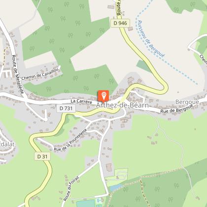
Starting point
64370
ARTHEZ-DE-BEARN
Lat : 43.465116Lng : -0.616028
Points of interest
Additional information
Balisage
White and red (GR®)
indications jacquaires
Typologie de l'itinéraire
Walking trail
Hiking Route (GR®)
Thèmes
Compostela
Data author
Ratings and reviews
To see around


