Alert
Alerts
Boucle des remparts Monpazier, Villes et villages fleuris
IGN cards


Description
This walk allows you to discover the bastide of Monpazier and to learn about its special architecture. The structured plan of the bastide is organized by different types of roads, including the carreyrous, small lanes that cut through the blocks of houses, which you will follow. You will pass in turn on the square central place, provided with a market hall, (ordering element of the plan), the place of Cornières which was the place of exchange, trade, justice. You can observe 23 houses with open porticoes, built from the 13th to the 17th century, which formed front stores. The church of St Dominique is a sober building, as is customary in the churches of the bastides. You will pass by the washhouse, protected by a canopy, supplied by a spring and the fountain of the loves, a small building surmounted by a tympanum.
Technical Information
Altimetric profile
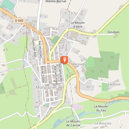
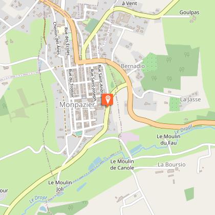
Starting point
Steps
Points of interest


Additional information
Contact
Fixed telephone : +33 5 53 22 68 59
BIT Monpazier
Typologie de l'itinéraire
Loop
Durée moyenne de l'expérience
1 to 2 hours
Thèmes
Cultural
Historical
Natural
Religious
Data author
