Alert
Alerts


Boucle des coteaux de Castillon-la-Bataille

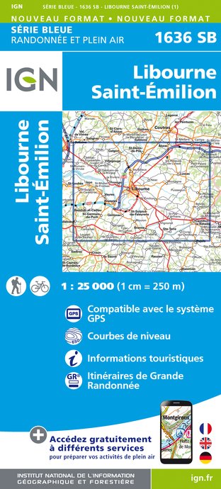
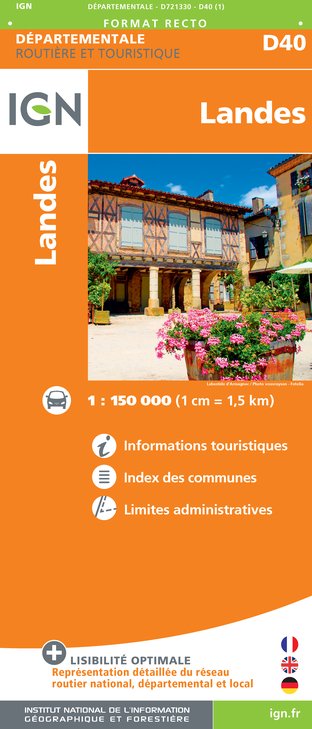
IGN cards


Description
You are in Castillon-la-Bataille where the Hundred Years War between the French and the English ended in 1453.
In the land of history, this walk will lead you on the hillsides overlooking the city and the Dordogne.
Technical Information
Altimetric profile
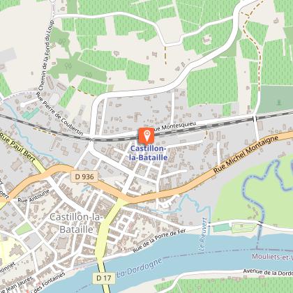
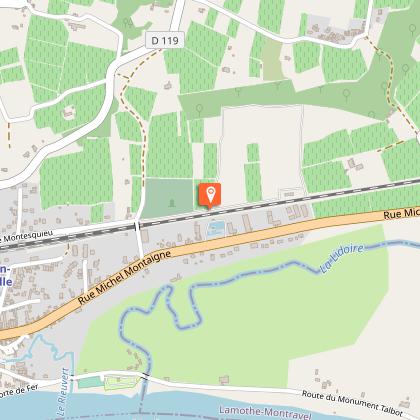
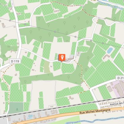
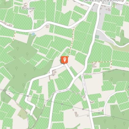
Starting point
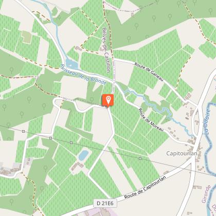
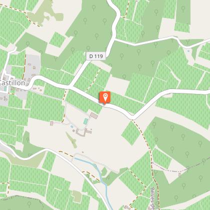
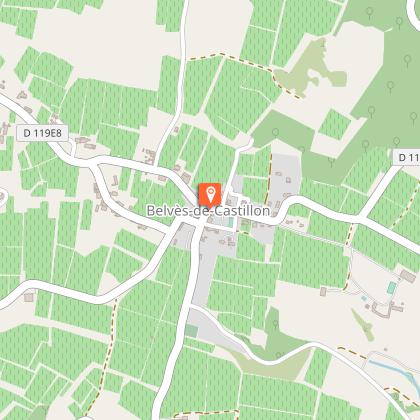
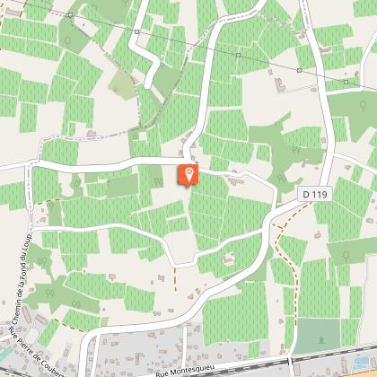
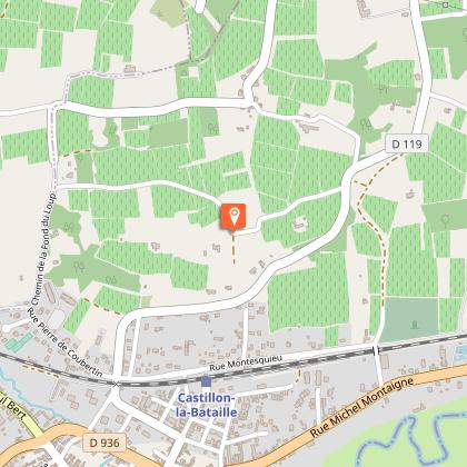
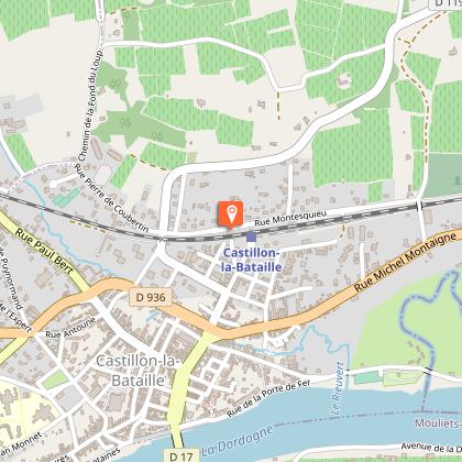
Steps
Additional information
Contact
Fixed telephone : +33 5 57 40 27 58
e-mail : tourisme@castillonpujols.fr
Web site (URL) : www.tourisme-castillonpujols.fr
Typologie de l'itinéraire
Loop
Durée moyenne de l'expérience
3 to 4 hours
Thèmes
Historical
Natural
Equipements
Ablutions
Picnic area
Animaux bienvenus ?
Oui
Data author
