Alert
Alerts
Type of practice
Trail running
Very easy
Presentation
Description
Map
Ratings and reviews
See around
CIRCUIT TRAIL N°2 (GREEN) - LA TETE DE GROUVELIN


Credit : OTCGHV
IGN cards
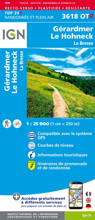
3618OTR - GERARDMER LE HONECK RESISTANTE LA BRESSE
Editor : IGN
Collection : TOP 25 RÉSISTANTE
Scale : 1:25 000
17.20€
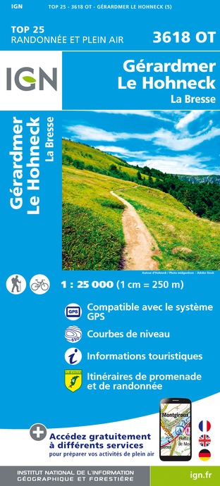
3618OT - GÉRARDMER LE HOHNECK LA BRESSE
Editor : IGN
Collection : TOP 25 ET SÉRIE BLEUE
Scale : 1:25 000
13.90€

TOP75028 - VOSGES DU SUD BALLON D'ALSACE LE HOHNECK
Editor : IGN
Collection : TOP 75
Scale : 1:75 000
9.80€
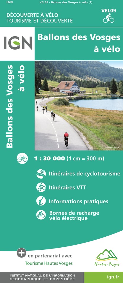
VEL09 - BALLONS DES VOSGES A VELO
Editor : IGN
Collection : DECOUVERTE A VELO
Scale : 1:30 000
9.10€

VEL04 - L'ALSACE A VELO
Editor : IGN
Collection : DECOUVERTE A VELO
Scale : 1:110 000
9.10€

TOP100D68 - HAUT-RHIN TERRITOIRE DE BELFORT COLMAR MULHOUSE BELFORT PNR DES BALLONS DES VOSGES
Editor : IGN
Collection : TOP 100
Scale : 1:100 000
8.40€

TOP100D67 - BAS-RHIN STRASBOURG HAGUENAU SÉLESTAT PNR DES VOSGES DU NORD
Editor : IGN
Collection : TOP 100
Scale : 1:100 000
8.40€

TOP100D88 - VOSGES ÉPINAL NEUFCHÂTEAU ST-DIÉ-DES-VOSGES GÉRARDMER PNR DES BALLONS DES VOSGES
Editor : IGN
Collection : TOP 100
Scale : 1:100 000
8.40€

TOP100D70 - HAUTE-SAÔNE VESOUL LURE VALLÉE DE LA SAÔNE
Editor : IGN
Collection : TOP 100
Scale : 1:100 000
8.40€

201 ALSACE MASSIF DES VOSGES
Editor : IGN
Collection : TOP 200
Scale : 1:200 000
6.80€

89032 - LA TRAVERSEE DES VOSGES
Editor : IGN
Collection : DECOUVERTE DES CHEMINS
Scale : 1:100 000
9.10€

D67-68 BAS-RHIN HAUT-RHIN
Editor : IGN
Collection : CARTES DÉPARTEMENTALES IGN
Scale : 1:150 000
5.90€

D70-88-90 HAUTE-SAÔNE VOSGES TERRITOIRE DE BELFORT
Editor : IGN
Collection : CARTES DÉPARTEMENTALES IGN
Scale : 1:150 000
5.90€

NR09 BOURGOGNE FRANCHE-COMTÉ
Editor : IGN
Collection : CARTES RÉGIONALES IGN
Scale : 1:250 000
6.80€

ALLEMAGNE
Editor : IGN
Collection : DÉCOUVERTE DES PAYS DU MONDE IGN
Scale : 1:800 000
7.00€

EUROPE
Editor : IGN
Collection : DÉCOUVERTE DES PAYS DU MONDE IGN
Scale : 1:2 500 000
7.00€
Description
A gradual climb through the ski area to Grouvelin, then the Hautes Vannes site before reaching La Rayée.
Follow the green N°2 markers (9,1km, 356m D+). Estimated duration: 45 min to 1h40 depending on your level of experience.
Technical Information
Trail running
Difficulty
Very easy
Dist.
9.8 km
Type of practice
Trail running
Very easy
Show more
Altimetric profile
Starting point
239 Chemin de la Rayée Station de Trail de La Mauselaine
,
88400
GERARDMER
Lat : 48.057395490272Lng : 6.8962723465881
Additional information
Contact
Site web : www.onpiste.com/explorer/routes/la-tete-de-grouvelin-1428
Producteur de la donnée
Ces informations sont issues de la plateforme SITLOR - Système d’Information Touristique - Lorraine
Elles sont synchronisées dans le cadre du partenariat entre Cirkwi, l’Agence régionale du Tourisme Grand Est et les membres du comité technique de Sitlor.
Data author

proposed by
OT Gérardmer Hautes Vosges
Ratings and reviews
To see around