Alert
Alerts
Sélé Refuge


IGN cards


Description
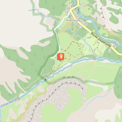
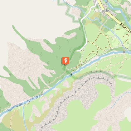
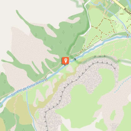
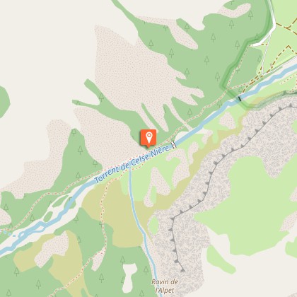
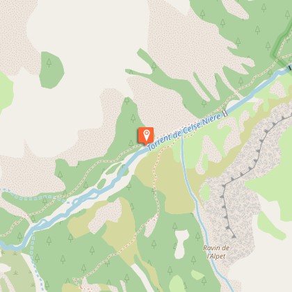
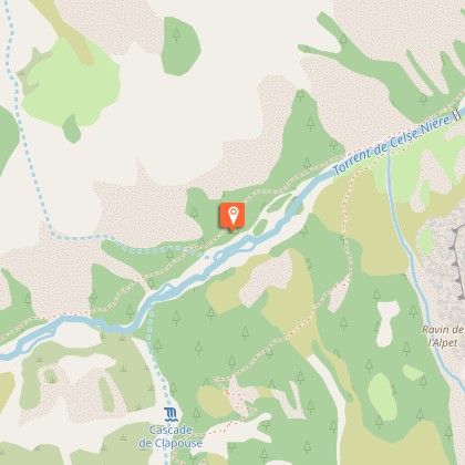
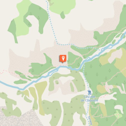
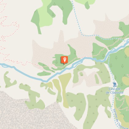
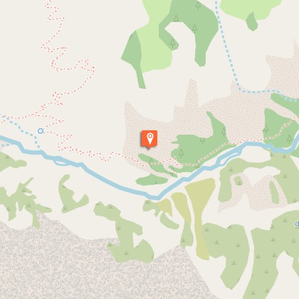
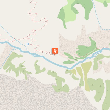
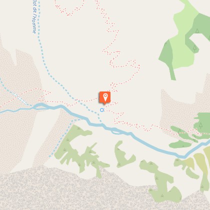
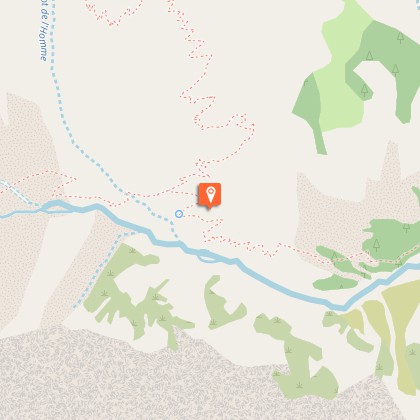
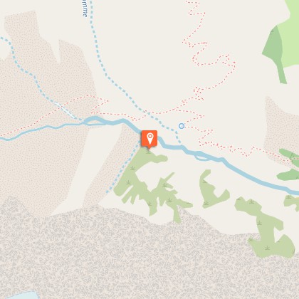
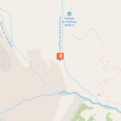
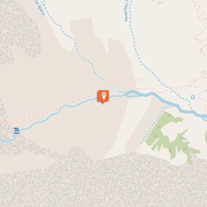
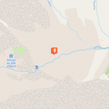
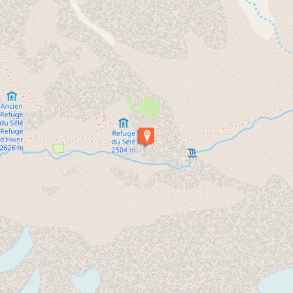
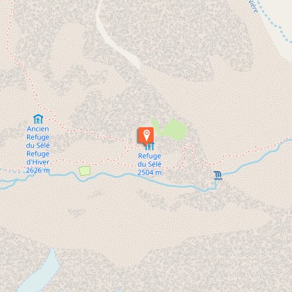
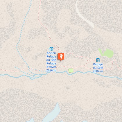
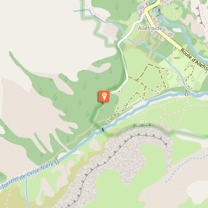
In a very high mountain setting, this hike follows the valley of mythical mountains which lead to two refuges by crossing a perilous cliff.From the carpark, go up the Sélé valley on the path which follows the right bank of the Celse Nière torrent. After a long climb with a hidden gradient, the path goes up in steep bends to a junction with the track to Pelvoux (1993m).Follow straight along on large crossings that lead on foot to the very steep cliff.A wide track enables you to hold on to the cables going up this face firstly to the right, then crossing towards the left.After the cliff, go up a good path which turns abruptly to the right to reach the summit of the rocky promontory where the refuge is located.
Technical Information
Altimetric profile
Starting point
Steps
Additional information
Departure
Ailefroide
Arrival
Ailefroide
Ambiance
Since 1913, the French state, through the administration of Water and Forests, bought ground from certain communities. In this way Celse Nière valley benefitted from protection well before the creation of the Ecrins National Park in 1973.
Access
From the N94 at l'Argentière, take the direction to Vallouise, then to Pelvoux. Then go to Ailefroide Hamlet on the D994F.
Advised parking
Ailefroide carpark in the summer
Public transport
SNCF station at Argentière-la-Bessée shuttle from Argentière to Ailefroide in the summer season (remember to reserve 36 h in advance on 05voyageurs or 04 92 502 505).
Advice
In the barre du Sélé, there is a difficult passage equipped with cables, exposed and very slippery when it is wet and raining. Camping is forbidden after Ailefroide, bivouacking is authorized at a distance of more than an hour’s walk from the limits of the National Park. Fire is forbidden.
Is in the midst of the park
The national park is an unrestricted natural area but subjected to regulations which must be known by all visitors.
