Alert
Alerts
Randonnée - en passant par ruaux


IGN cards









Description
Access: From Remiremont, go to Plombières-les-Bains. Take direction Xertigny/Bellefontaine to get to Ruaux.
Parking: Park opposite the campsite in the centre.
Distance: 3.5 km / Duration: 1 hour / Difference in height: 40m / Marking: yellow ring.
1) Start in the centre of the village of Ruaux on the small road to Clairefontaine (cellars on the right, typical of the region).
2) A fountain refurbished with large stone blocks precedes a reading table placed on a mound. Continue west towards the hamlet of Côte Levée.
3) As you approach the hamlet, take the left-hand path that leads in the direction of the village.
4) Cross the dike of a pond used as a lagoon in the village sewage system. After the pond, follow a track through the fields. At the next crossroads, take the middle lane which leads to the Notre Dame de Consolation chapel and its resting place.
5) The return to the village is through the coniferous forest and along the fields towards the new cemetery. Continue to the main street.
Technical Information
Altimetric profile
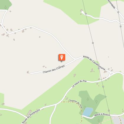
Starting point
Additional information
Producteur de la donnée
Ces informations sont issues de la plateforme SITLOR - Système d’Information Touristique - Lorraine
Elles sont synchronisées dans le cadre du partenariat entre Cirkwi, l’Agence régionale du Tourisme Grand Est et les membres du comité technique de Sitlor.
Contact
Tel : 03 29 66 01 30
Email : plombieres@otrp.fr
Data author

