Alert

Alerts

To see around
See more
Open
Close
Show
Show
Show
Show
Show
Show
Show
Show
Show
Show
Show

Oups... It would appear that Cirkwi does not have permission to use your location.

OSM Map
OSM Map
OpenStreetMap
Satellite images
Satellite images
Google
GoogleMap Map
GoogleMap Map
Google
Hybrid Map
Hybrid Map
Google
IGN - France
IGN - France
IGN
Cadastral Plan
Cadastral Plan
IGN
Presentation
Description
Map
Steps
Points of interest
Ratings and reviews
See around

Les prés salés, entre terre et mer
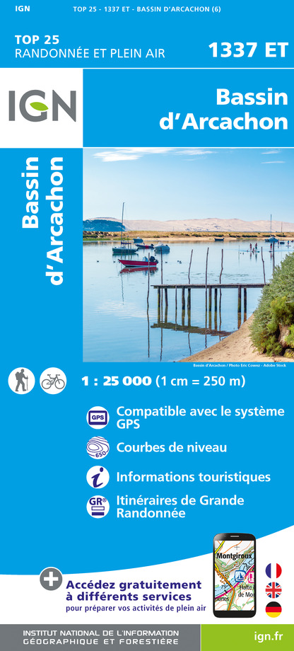
prés salés -vue du ciel - arès-bassin arcachon
pres-sales-ares © Grégory Cassiau - Les Conteurs (17)
pres-sales-ares © Grégory Cassiau - Les Conteurs (28) -
P1100029

Description

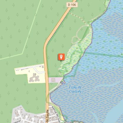
Go to the Prés Salés nature reserve and cross this space with its different landscapes (reservoirs, forest, salt meadow, dunes...). The footbridge that blends into the landscape allows you to cross the canal of the ponds and to access the part that the locals call the "desert".
Practical information: bicycles and animals are strictly forbidden.

Technical Information

Walking
Difficulty
Easy
Dist.
10 km
Show more

Altimetric profile

Starting point

A l'entrée de la réserve (port ostréicole) , 33740   ARES
Lat : 44.7670009Lng : -1.1507842

Points of interest

Additional information

Contact

Fixed telephone : +33 5 56 60 18 07
Office de Tourisme d'Arès
e-mail : info@ares-tourisme.com
Web site (URL) : www.ares-tourisme.com

Typologie de l'itinéraire

Return
Local Hiking Route (GRP®)

Thèmes

Natural

Durée moyenne de l'expérience

2 to 3 hours

Equipements

Picnic area
Ablutions

Ratings and reviews

To see around
See more
Open
Close
Show
Show
Show
Show
Show
Show
Show
Show
Show
Show
Show
Caution!
We have no information on the difficulty of this circuit. You may encounter some surprises along the way. Before you go, please feel free to inquire more and take all necessary precautions. Have a good trip! 🌳🥾