Alert
Alerts
Type of practice
Riding
Hard
4h30mn
Presentation
Description
Map
Steps
Points of interest
Ratings and reviews
See around
Le sentier des contrebandiers - De Col d'Ehorrieta à St - Martin d'Arossa - équestre


IGN cards

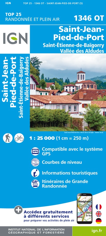
1346OT - ST-JEAN-PIED-DE-PORT ST-ETIENNE-DE-BAIGORRY VALLEE DES ALDUDES
Editor : IGN
Collection : TOP 25 ET SÉRIE BLEUE
Scale : 1:25 000
13.90€

TOP75023 - PAYS BASQUE
Editor : IGN
Collection : TOP 75
Scale : 1:75 000
9.80€

TOP100D64 - PYRÉNÉES-ATLANTIQUES PAU BAYONNE BIARRITZ PAYS BASQUE BÉARN
Editor : IGN
Collection : TOP 100
Scale : 1:100 000
8.40€

166 DAX BAYONNE PAYS BASQUE
Editor : IGN
Collection : TOP 100
Scale : 1:100 000
8.40€

89030 - TRAVERSEE DES PYRENEES GR10®
Editor : IGN
Collection : DECOUVERTE DES CHEMINS
Scale : 1:100 000
9.10€

89021 - ST-JACQUES-DE-COMPOSTELLE GR®65-2 DE MOISSAC A RONCEVAUX
Editor : IGN
Collection : DECOUVERTE DES CHEMINS
Scale : 1:100 000
9.10€

D64 PYRÉNÉES-ATLANTIQUES
Editor : IGN
Collection : CARTES DÉPARTEMENTALES IGN
Scale : 1:150 000
5.90€

NR11 NOUVELLE-AQUITAINE RECTO/VERSO BASSIN AQUITAIN
Editor : IGN
Collection : CARTES RÉGIONALES IGN
Scale : 1:250 000
6.80€

NR10 NOUVELLE-AQUITAINE RECTO /VERSO LIMOUSIN POITOU
Editor : IGN
Collection : CARTES RÉGIONALES IGN
Scale : 1:250 000
6.80€

EUROPE
Editor : IGN
Collection : DÉCOUVERTE DES PAYS DU MONDE IGN
Scale : 1:2 500 000
7.00€
Description
If you want to go far, take care of your mount... The climb to the Ispéguy pass, the descent to the Irouléguy vineyards
the descent towards the vineyards of Irouléguy, the ascent towards the Jara, will perhaps merit a few walks
to save the mounts, to discover this corner of the Basque Country.
Crossing of St Etienne de Baïgorry with horses
horses calm to the traffic.
Technical Information
Riding
Difficulty
Hard
Duration
4h30mn
Dist.
19 km
Type of practice
Riding
Hard
4h30mn
Show more
Altimetric profile
Starting point
,
64430
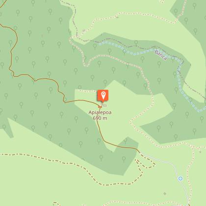
BANCA
Lat : 43.126384Lng : -1.373904
Steps
Points of interest
Additional information
Balisage
Orange
Typologie de l'itinéraire
Walking trail
Horse riding circuit
Thèmes
Natural
Data author

proposed by
Office de Tourisme Pays Basque
64502 France
Ratings and reviews
To see around


