Alert
Alerts
The Verne hike


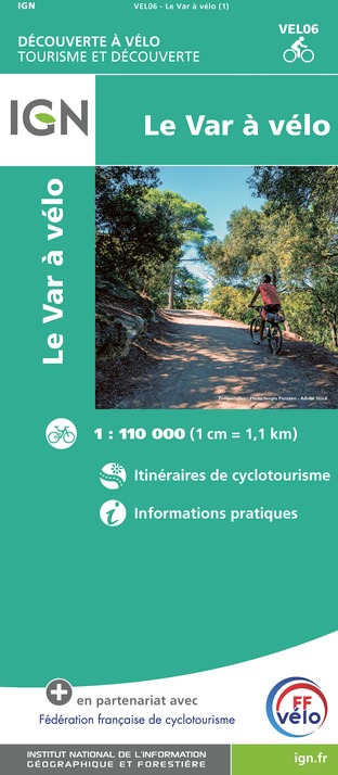
IGN cards


Description
Discover the Maures mountain range on a mountain bike and enjoy the sensations.
From the Croix d'Anselme car park, enjoy a 1 km descent on the RD 14, surrounded by chestnut trees. At the intersection, turn right towards Col des Fourches Gonfaron. At the arrow post "Vallon de Rascas" take the direction of Valescure and prepare your calves to start the climb for about 10 km until the arrow post "Cros de Mouton".
On arrival take the direction of La Garde-Freinet, continue for 1 km and turn right at the intersection towards Capelude. Hilly climb for 700 m on a sandy track until you reach the top of Le Défens. Here, take the time to stop and enjoy the panoramic view of the whole Collobrières forest and the sea.
Enjoy the next 8 km of descent on a partly dirt and partly stony track surrounded by typical Mediterranean vegetation. On the way you can stop at the Treps reservoir, where picnic tables are available for a break. You can also admire the Chartreuse de la Verne in the distance.
At the end of this descent, you will arrive on the RD 14, which you will have to climb for 400m to join the path on the left on the dirt roadside, which will take you to the ascent of the Chartreuse de la Verne on a trail of about 9.5 km with no difficulties or obstacles.
On arrival you can visit the monument and enjoy the view towards the Maures massif. Then, follow the arrow post "Chartreuse 1" located at the entrance of the monument towards Plateau Lambert through the undergrowth. This shaded single is relatively technical with some passages on less important stones. Then take the Ragusse track on your right to enjoy a descent on a stony track for about 7 km. Remember to descend below the trail to admire the cedar forest about 2 km from the arrow post. Be careful, this is a very technical trail with a steep descent and a lot of vegetation for experienced mountain bikers. Tip: leave your mountain bike at the top of the track and walk the trail.
At the end of this descent, when you reach a small ford, take the RD to the left for 400m and then to the left on the trail parallel to the departmental road. This single track has some small obstacles to overcome (tree roots), and there are 450 m to go before you return to the start car park.
Technical Information
Altimetric profile
Starting point
Additional information
Updated by
Office de tourisme intercommunal La Londe les Maures, Cuers, Collobrières, Pierrefeu du Var - 26/08/2024
www.mpmtourisme.com
Report a problem
Open period
All year round.
From June 21 to September 20, hiking trails are subject to the rules of access to the Var forest massifs to comply with the fire risk prevention plan. Information: Var Prefecture - 00 33 4 98 10 55 41 - var.gouv.fr.
Subject to favorable weather.
Contact
Phone :
04 94 42 15 01
112
Website :
sportnature.var.fr/randonnee-vtt/rando-de-la-verne/
www.ffvelo.fr/
www.var.gouv.fr/acces-aux-massifs-forestiers-du-var-a2898.html
Type of land
Stone
Ground
Hard coating (tar, cement, flooring)
Not suitable for strollers
Reception complements
The proposed trails may cross areas where forestry, farming and pastoral activities are still present and active. Remember that you are walking on paths bordered by private property. Therefore, respecting the marked paths and the crops (olive trees, chestnut trees, cork...) is the best insurance for a pleasant walk.
In order to respect the work of the breeders and the peace and quiet of the herds, please adopt a few reflexes: go well around the herd, keep your distance. In the presence of guard dogs: stop while they identify you, get off your bike and walk calmly, do not threaten them, do not pet them. Keep your dog on a lead (if you are in an area where its presence is permitted).
No picking or taking: the routes crossed are rich in rare animal and plant species. Help us to preserve them!
Take your rubbish with you and help to preserve our environment.
Stay on the marked trails to avoid damaging the natural environment.
Users are liable if the basic safety rules are not followed.

