Alert

Alerts

To see around
See more
Open
Close
Show
Show
Show
Show
Show
Show
Show
Show
Show
Show
Show

Oups... It would appear that Cirkwi does not have permission to use your location.

Presentation
Description
Map
Points of interest
Ratings and reviews
See around

Hiking trail: Tour de l'Andran

IGN cards

3531OTR - MEGEVE RESISTANTE COL DES ARAVIS
Editor : IGN
Collection : TOP 25 RÉSISTANTE
Scale : 1:25 000
17.20€
3430ETR - LA CLUSAZ RESISTANTE LE GRAND-BORNAND
Editor : IGN
Collection : TOP 25 RÉSISTANTE
Scale : 1:25 000
17.20€
3430ET - LA CLUSAZ LE GRAND-BORNAND
Editor : IGN
Collection : TOP 25 ET SÉRIE BLEUE
Scale : 1:25 000
13.90€
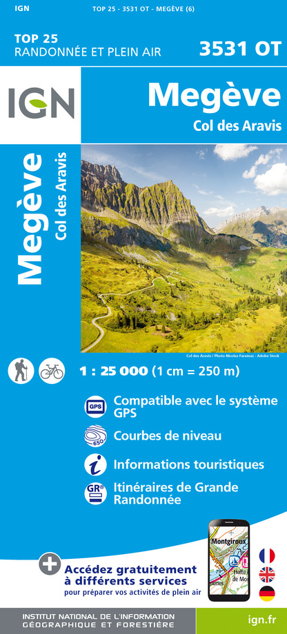
3531OT - MEGEVE COL DES ARAVIS
Editor : IGN
Collection : TOP 25 ET SÉRIE BLEUE
Scale : 1:25 000
13.90€
TOP75032 - CHAINE DES ARAVIS - MASSIF DES BAUGES
Editor : IGN
Collection : TOP 75
Scale : 1:75 000
9.80€
TOP75004 - BEAUFORTAIN MASSIF DU MONT BLANC
Editor : IGN
Collection : TOP 75
Scale : 1:75 000
9.80€
TOP100D74 - HAUTE-SAVOIE ANNECY THONON-LES-BAINS MASSIF DU MONT BLANC CHAÎNE DES ARAVIS
Editor : IGN
Collection : TOP 100
Scale : 1:100 000
8.40€
TOP100D73 - SAVOIE CHAMBÉRY ALBERTVILLE PARC NATIONAL DE LA VANOISE PNR DU MASSIF DES BAUGES
Editor : IGN
Collection : TOP 100
Scale : 1:100 000
8.40€
202 JURA ALPES DU NORD
Editor : IGN
Collection : TOP 200
Scale : 1:200 000
6.80€
D38 ISÈRE
Editor : IGN
Collection : CARTES DÉPARTEMENTALES IGN
Scale : 1:150 000
5.90€
NR15 AUVERGNE-RHÔNE-ALPES RECTO/VERSO MASSIF ALPIN
Editor : IGN
Collection : CARTES RÉGIONALES IGN
Scale : 1:250 000
6.80€
NR14 AUVERGNE-RHÔNE-ALPES RECTO/VERSO MASSIF CENTRAL
Editor : IGN
Collection : CARTES RÉGIONALES IGN
Scale : 1:250 000
6.80€
SUISSE
Editor : IGN
Collection : DÉCOUVERTE DES PAYS DU MONDE IGN
Scale : 1:303 000
7.00€
EUROPE
Editor : IGN
Collection : DÉCOUVERTE DES PAYS DU MONDE IGN
Scale : 1:2 500 000
7.00€

Description

An easy hike around Manigod's highest point: La Tête de Cabeau. From the Col de la Croix Fry to the Col de Merdassier, discover the magnificent views of the Aravis mountains offered by this panoramic itinerary.
Starting from the Col de la Croix Fry, this short loop takes you along a beautiful balcony trail. The scenery alternates between forests and clearings, and the view of the surrounding landscape is breathtaking.

You reach the Massif de l'Etale, on the border between the La Clusaz and Manigod ski areas. The route then continues through beautiful mountain pastures, at the foot of the Pointe de Merdassier.

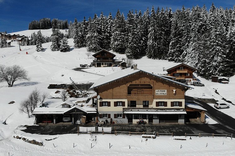
At the Col de Merdassier, take the time to stop at the Ferme de l'Etale for the famous reblochon fermier produced on site.

Technical Information

Walking
Difficulty
Very easy
Duration
1h50mn
Dist.
7 km
Show more

Altimetric profile

Starting point

Parking Col de la Croix Fry, Chemin de Beauregard , 74230   Manigod
Lat : 45.876903Lng : 6.403779

Additional information

Updated by

Conseil Départemental de la Haute-Savoie - 10/12/2024
www.hautesavoiexperience.fr
Report a problem

Reception conditions for animals

Dogs must be kept on a leash in the presence of herds.

Guidebook with maps/step-by-step

1/ From "Col de la Croix Fry (Ouest)", head for "Col de Merdassier (La Vieille Ferme) par l'Andran". Still following the direction of Col de Merdassier, you will pass through "Sous les Rosières (Sud)", "Danvalet", "La Frasse" and "La Vieille Ferme (Ouest) then "La Vieille Ferme (Nord)". 2/ At the "La Vieille Ferme (Ouest)" and "La Vieille Ferme (Nord)" posts, continue towards "Col de la Croix Fry par le Col de Merdassier". 3/ At the "Col de Merdassier" post, follow "Col de la Croix Fry (Direct)" to reach your starting point.

Open period

All year round. Subject to favorable snow and weather conditions.

Data author

Ratings and reviews

To see around
See more
Open
Close
Show
Show
Show
Show
Show
Show
Show
Show
Show
Show
Show
Caution!
We have no information on the difficulty of this circuit. You may encounter some surprises along the way. Before you go, please feel free to inquire more and take all necessary precautions. Have a good trip! 🌳🥾