Alert
Alerts
Type of practice
Walking
Very easy
1h30mn
Presentation
Description
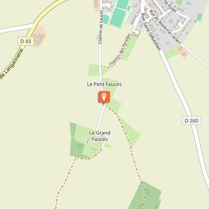
Map
Steps
Points of interest
Ratings and reviews
See around
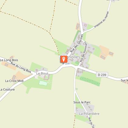
De Saint Sylvain à Soignolles par les «Fauces»

Credit : Wikipedia
IGN cards
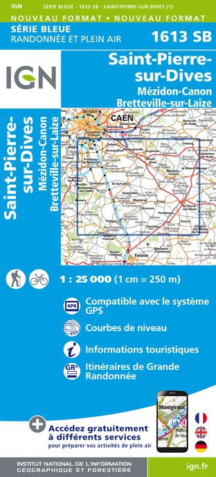
1613SB - SAINT-PIERRE-SUR-DIVES MÉZIDON-CANON BRETEVILLE-SUR-LAIZE
Editor : IGN
Collection : TOP 25 ET SÉRIE BLEUE
Scale : 1:25 000
13.90€

117 CAEN EVREUX PAYS D'AUGE ET D'OUCHE
Editor : IGN
Collection : TOP 100
Scale : 1:100 000
8.40€

D50 MANCHE
Editor : IGN
Collection : CARTES DÉPARTEMENTALES IGN
Scale : 1:150 000
5.90€
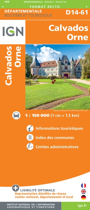
D14-61 CALVADOS ORNE
Editor : IGN
Collection : CARTES DÉPARTEMENTALES IGN
Scale : 1:150 000
5.90€

NR02 NORMANDIE
Editor : IGN
Collection : CARTES RÉGIONALES IGN
Scale : 1:250 000
6.80€

801 FRANCE NORD OUEST
Editor : IGN
Collection : CARTES NATIONALES IGN
Scale : 1:320 000
6.10€

EUROPE
Editor : IGN
Collection : DÉCOUVERTE DES PAYS DU MONDE IGN
Scale : 1:2 500 000
7.00€
Description
Saint-Sylvain is located to the south of the Caen plain, on the edge of the Cinglais forest, midway between the Caen conurbation and Falaise. This geographical location offers a fine itinerary across relatively easy fields, with a few interesting spots to stop at and admire: the Château des Fosses the Church of St. Sylvain and the church in Soignolles. After a few speedy kilometres, the portion through the woods and the undergrowth invites you to take a more leisurely pace and appreciate this tranquil atmosphere.
Technical Information
Walking
Difficulty
Very easy
Duration
1h30mn
Dist.
8 km
Type of practice
Walking
Very easy
1h30mn
Show more
Altimetric profile
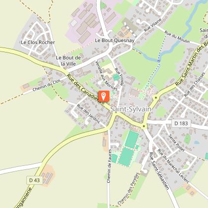
Starting point
Parking de la mairie de Saint Sylvain
,
SAINT-SYLVAIN
Lat : 49.056204Lng : -0.218324
Additional information
Contact
Tel : 02 31 79 70 45
Email : otsuissenormande@gmail.com
Website : http://www.suisse-normande-tourisme.com/
Data author

proposed by
Office de tourisme de la Suisse Normande
2 Place Saint Sauveur 14220 Thury-Harcourt France
Ratings and reviews
To see around