Alert
Alerts
Type of practice
Walking
Medium
2h
Trail running
Medium
1h10mn
Mountainbiking
Medium
1h
Presentation
Description
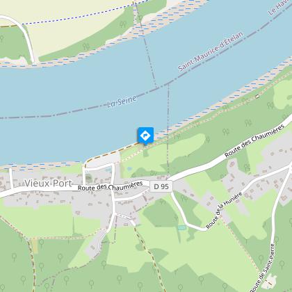
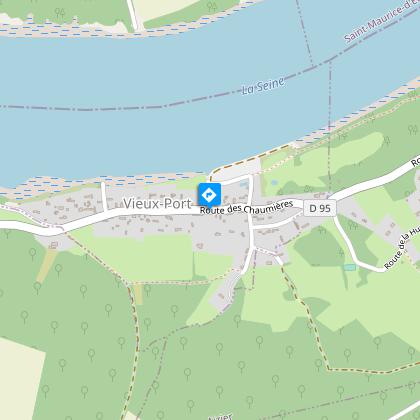
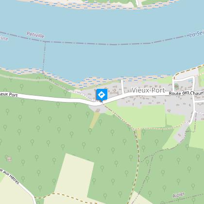
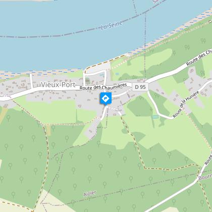
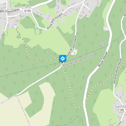
Map
Steps
Ratings and reviews
See around
chemin des sources bleues


Credit : © M. Lebé RoumoisSeine
IGN cards

1811OT - PONT-AUDEMER TANCARVILLE PNR DES BOUCLES DE LA SEINE NORMANDE
Editor : IGN
Collection : TOP 25 ET SÉRIE BLEUE
Scale : 1:25 000
13.90€

1911OT - FORÊTS DE BROTONNE ET DU TRAIT-MAULÉVRIER PNR DE BROTONNE
Editor : IGN
Collection : TOP 25 ET SÉRIE BLEUE
Scale : 1:25 000
13.90€
107 ROUEN LE HAVRE CÔTE D'ALBÂTRE BOUCLES DE LA SEINE NORMANDE
Editor : IGN
Collection : TOP 100
Scale : 1:100 000
8.40€

D27-76 EURE SEINE-MARITIME
Editor : IGN
Collection : CARTES DÉPARTEMENTALES IGN
Scale : 1:150 000
5.90€
D14-61 CALVADOS ORNE
Editor : IGN
Collection : CARTES DÉPARTEMENTALES IGN
Scale : 1:150 000
5.90€

NR02 NORMANDIE
Editor : IGN
Collection : CARTES RÉGIONALES IGN
Scale : 1:250 000
6.80€

801 FRANCE NORD OUEST
Editor : IGN
Collection : CARTES NATIONALES IGN
Scale : 1:320 000
6.10€

EUROPE
Editor : IGN
Collection : DÉCOUVERTE DES PAYS DU MONDE IGN
Scale : 1:2 500 000
7.00€
Technical Information
Walking
Difficulty
Medium
Duration
2h
Dist.
6.3 km
Type of practice
Walking
Medium
2h
Trail running
Medium
1h10mn
Mountainbiking
Medium
1h
Show more
Altimetric profile
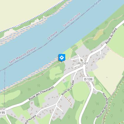
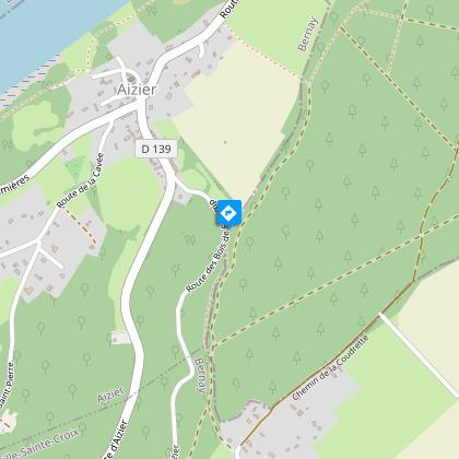
Starting point
AIZIER
Lat : 49.432169094506Lng : 0.62454657663393
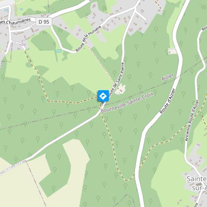
Steps
Additional information
Facilities
Picnic area - esplanade en bord de Seine à Aizier
Picnic area - dans le parc Viking Aventure
Data author

proposed by
EUREKA, Agence d'Attractivité de l'Eure
26 rue Victor Hugo 27000 EVREUX
Ratings and reviews
To see around