Alert
Alerts
Le chemin de meunier à St Médard d'excideuil
IGN cards


Description
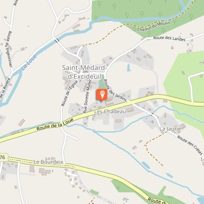
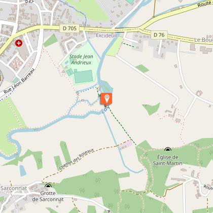
The village of Saint-Médard is watered by the Loue and its tributary, the Haute Loue. The Romanesque church of the village has a dome and an altarpiece from the 17th century. Numerous manors and castles dot the countryside and the imposing castle of Excideuil appears from its stature during the walk. The path leads from the banks of the Loue to the climbing site of the "Enchanted Rocks", and to discover 5 mills along this stream.
Technical Information
Altimetric profile
Starting point
Steps
Points of interest
Additional information
Contact
Fixed telephone : +33 5 53 52 29 79
Office de Tourisme Naturellement Périgord
Web site (URL) : naturellementperigord.fr
Office de Tourisme Naturellement Périgord
e-mail : tourisme@naturellementperigord.fr
Office de Tourisme Naturellement Périgord
Typologie de l'itinéraire
Loop
Durée moyenne de l'expérience
2 to 3 hours
Thèmes
Cultural
Historical
Natural
Religious
Data author


