Alert

Alerts

To see around
See more
Open
Close
Show
Show
Show
Show
Show
Show
Show
Show
Show
Show
Show

Oups... It would appear that Cirkwi does not have permission to use your location.

Presentation
Description
Map
Steps
Points of interest
Ratings and reviews
See around

Boucle des Hérons - Abjat sur Bandiat

Description

The commune of Abjat-sur-Bandiat has 668 inhabitants. This population is spread over more than 39 villages, hamlets, mills and localities. The village is located in the center of the Parc Naturel Régional Périgord-Limousin, at an altitude of 300 m, on a peak that extends in peneplain towards the south to join the valley of the Dronne.
The Bandiat is the stream that runs through the village. Abjat has its own parish church, placed under the patronage and protection of Saint-André, brother of Saint-Pierre, whose feast day is celebrated on November 30. It would have depended on a priory whose vestiges adjoin it to the north. The building, of original construction, is composed of two adjoining naves, on the left a 12th century nave with a beautiful semi-circular portal doubled on the right in the 15th century.

Technical Information

Walking
Difficulty
Easy
Duration
3h
Dist.
11 km
Show more

Altimetric profile

Starting point

24300   ABJAT-SUR-BANDIAT
Lat : 45.58539Lng : 0.75666

Steps

image du object
1

Boucle des hérons

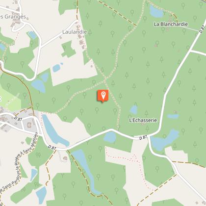
1 - Suivre le GR4 en direction du Grand Golhier jusqu'à l'embranchement GR4 route de Laulandie. 2 - Tourner à gauche pour traverser le village de Laulandie. Prendre le sentier à droite de la patte d'oie et 100m plus loin, celui situé à gauche. A 1,3km le sentier passe entre une maison et un étang. A 2,5km couper la route goudronnée pour prendre en face à 5m sur la gauche le chemin qui descend vers Maumont sur 250m, puis tourner à droite (poteau E.D.F) jusqu'à Masfrolet. Prendre la route à droite en haut de la petite côte faire 250m, s'engager sur le chemin en face, continuer jusqu'au GR4 que l'on suit en revenant au bourg. 3 - Suivre l'itinéraire du circuit 1 jusqu'au poteau E.D.F, et prendre à gauche. Couper la route goudronnée en bifurquant sur la droite, puis sur la gauche en direction de Peyrat. On traverse le Bandiat. 100m après les premières maisons, tourner à gauche, 100m plus loin, couper la route pour suivre le sentier qui descend jusqu'à la route D96, en passant par Petit Peyrat. 4 - Couper la RD96 et prendre en face pour entrer dans le village de Fargeas (Fontaine, Maisons Bourgeoises, Petite Vallée, départ de la Légende " Les Cloches d'Abjat " après la révolte de 1640). A 200m tourner à droite, 100m plus loin à gauche et marcher sur 650m. 5 - Descendre le chemin à gauche le long du bois, traverser la passerelle au-dessus du Bandiat (Ancien moulin non ouvert au public). Couper le ruisseau presque en face et tourner à droite à 150m pour remonter vers le village de Puyzillout. 6 - Ce sentier conduit au GR4 que l'on suit jusqu'au bourg.

- Dordogne -
Consulter

Additional information

Typologie de l'itinéraire

Loop

Durée moyenne de l'expérience

3 to 4 hours

Thèmes

Cultural
Historical
Natural

Data author

Image Dordogne
proposed by Dordogne
24000 France

Ratings and reviews

To see around
See more
Open
Close
Show
Show
Show
Show
Show
Show
Show
Show
Show
Show
Show
Caution!
We have no information on the difficulty of this circuit. You may encounter some surprises along the way. Before you go, please feel free to inquire more and take all necessary precautions. Have a good trip! 🌳🥾