Alert
Alerts
Chemin des meuniers - L'Inval
IGN cards




Description
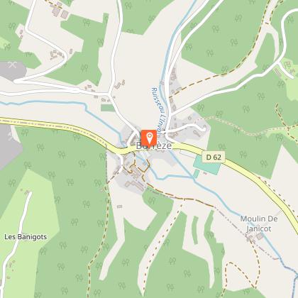
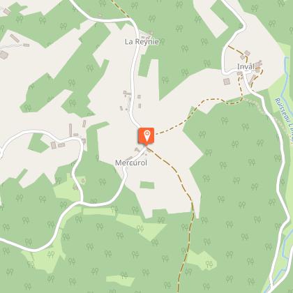
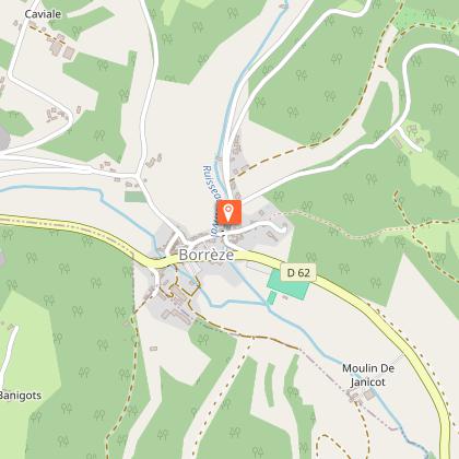
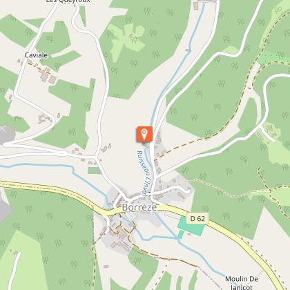
The miller's path of the Inval starts in the village of Borrèze, situated on the border of the Dordogne, the Corrèze and the Lot. The path takes you above the village through the crops, the dry stone walls, passing through the charming hamlets of Mercurol and Queyroux, after taking a very small shady road along the stream which will allow you to admire the mills in all tranquillity, and to learn about them thanks to the interpretation panels, before reaching the village.
Technical Information
Altimetric profile
Starting point
Steps
Points of interest
Additional information
Contact
Fixed telephone : +33 5 53 59 10 70
Office de Tourisme du Pays de Fénelon en Périgord Noir
Web site (URL) : www.fenelon-tourisme.com
Office de Tourisme du Pays de Fénelon en Périgord Noir
e-mail : tourisme@paysdefenelon.fr
Office de Tourisme du Pays de Fénelon en Périgord Noir
Balisage
Yellow
Typologie de l'itinéraire
Loop
Thèmes
Natural
Data author

