Alert

Alerts

To see around
See more
Open
Close
Show
Show
Show
Show
Show
Show
Show
Show
Show
Show
Show

Oups... It would appear that Cirkwi does not have permission to use your location.

Presentation
Description
Map
Steps
Points of interest
Ratings and reviews
See around

Boucle de Monsaguel

Description

Monsaguel is characterized by its contrasting landscape with cereal plateaus punctuated by wooded plots. In the woods, before reaching "les Tendoux", the stone is present all along the path: one discovers dry stone walls, some caves and underground cavities (private).
Monsaguel is home to many houses and castles of character (private and not open to the public), including the 15th century castle of "la Faurie", which is listed as a historical monument (visible from the road leading to St-Perdoux). The fortified manor house of "l'Aubespin" dates from the 12th century. It is made up of square towers attached to each other and topped by a roof covered with brown tiles. The moat that surrounded the building has been filled in
filled in a long time ago.

Technical Information

Walking
Difficulty
Very easy
Duration
3h20mn
Dist.
9.8 km
Show more

Altimetric profile

Starting point

Le bourg , 24560   MONSAGUEL
Lat : 44.7371Lng : 0.5808

Steps

image du object
2

Des "Tendoux" à l'arrivée

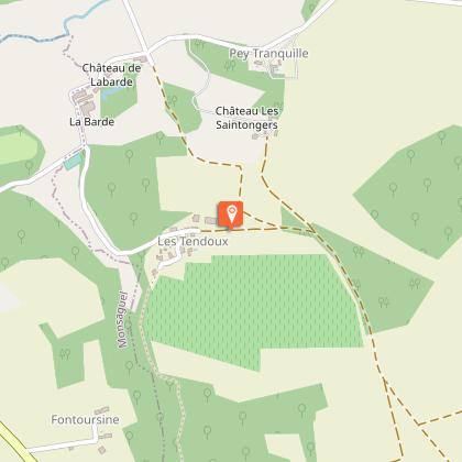
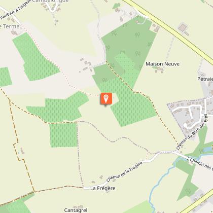
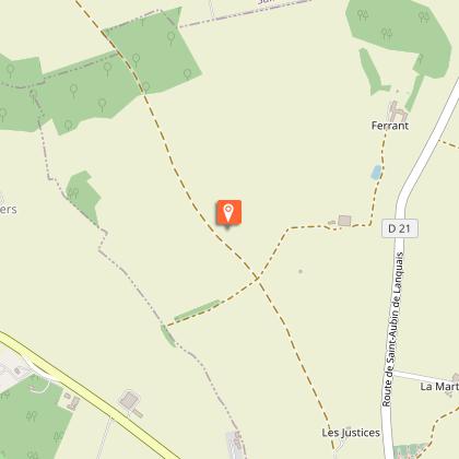
Continuer sur la route pendant 300 m.Emprunter le chemin de castine et longer le bois.À la patte d’oie, prendre le chemin enherbé de gauche et le suivre sur 500 m. Au bois, continuer tout droit puis à sa sortie, pour encore tout droit sur le plateau céréalier d’Issigeac pendant 680 m.À l’intersection, à l’approche du château d’eau,continuer tout droit sur 600 m. À la route, faire 260 m, ignorer la route de gauche. Poursuivre jusqu’ à l'intersection à 200 m et tourner à droite en direction du centre bourg d’Issigeac. Longer la RD 21 avec prudence ! 200 m plus loin, au carrefour face à l’Office de tourisme,contourner le village vers la droite par le « Tour de ville ». Au stop, traverser la route et continuer vers la halle. Avant le parking,tourner dans la ruelle à droite et passer à côté du panneau d’appel de la boucle ’Issigeac.Continuer tout droit. À 120 m, prendre le sentier à droite. À la route (prudence !) continuer à gauche puis la 1ère route à droite. Continuer tout droit,longer le ruisseau et passer au-dessus de l’ancien pont de chemin de fer. Au carrefour, laisser la route à droite et continuer tout droit… À la patte d’oie, prendre la direction de « la Vernelle » à droite et poursuivre sur le chemin de castine pendant 450 m. Dépasser la maison et tourner de suite à gauche sur le chemin enherbé. Poursuivre sur le sentier, longer la haie et continuer sur 350 m.À l’intersection, continuer tout droit en dépassant la cabane en ruine par la droite. Continuer tout droit pendant 530 m. À la route, au croisement,prendre la diagonale vers la gauche pour rejoindre le départ de la boucle par la prairie.

- Dordogne -
Consulter

Additional information

Contact

Fixed telephone : +33 5 53 58 79 69
Bureau d'Information Touristique d'Issigeac

Balisage

Yellow

Typologie de l'itinéraire

Loop

Thèmes

Natural
Religious

Data author

Image Dordogne
proposed by Dordogne
24000 France

Ratings and reviews

To see around
See more
Open
Close
Show
Show
Show
Show
Show
Show
Show
Show
Show
Show
Show
Caution!
We have no information on the difficulty of this circuit. You may encounter some surprises along the way. Before you go, please feel free to inquire more and take all necessary precautions. Have a good trip! 🌳🥾