Alert

Alerts

To see around
See more
Open
Close
Show
Show
Show
Show
Show
Show
Show
Show
Show
Show
Show

Oups... It would appear that Cirkwi does not have permission to use your location.

Presentation
Description
Map
Steps
Points of interest
Ratings and reviews
See around

Boucle de Roquepine - Saint Radegonde

Description

The ruins of the Pincanelle Mill are still visible from the road. Less than a century ago, four grain mills were still operating on the Bournègue stream. The Périgourdine type of architecture can be seen throughout the walk with particular flat tile roofs that can be seen on the farms, barns and stables... In the hamlet of "Caillauds", an old stacked house can be seen from the crossroads, arriving from "Fonvive". It can be found in the neighbouring commune of Ste-Sabine-de-Born. This atypical architecture is present in the south of the Périgord and the north of the Agenais.

Technical Information

Walking
Difficulty
Very easy
Duration
3h40mn
Dist.
11 km
Show more

Altimetric profile

Starting point

Le bourg , 24560SAINTE-RADEGONDE
Lat : 44.690682083Lng : 0.678328995

Steps

image du object
1

Du départ à "Veyrière"

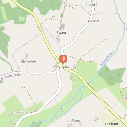
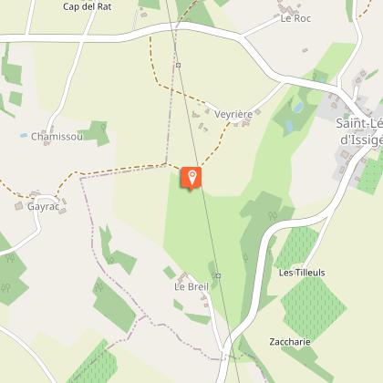
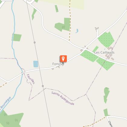
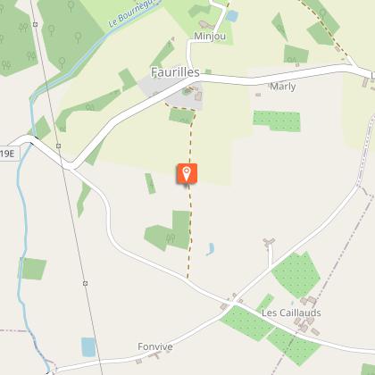
Depuis le panneau d’appel, récupérer le chemin derrière vous pendant une centaine de mètres. Au croisement prendre le chemin de gauche, le suivre pendant 400 m. À la route, continuer tout droit sur environ 500 m. Traverser le ruisseau de la Bournègue.Continuer tout droit jusqu’à Fonvive.Faites environ 400 m. Au prochain carrefour,tourner à gauche. 200 m plus loin, emprunter le chemin à droite menant au bois. À la sortie du bois, récupérer le chemin enherbé jusque dans le creux de vallée, puis remontez tout droit.À hauteur des bosquets d’arbres, tourner avant les jardins sur votre gauche en direction de la mairie de Faurilles. Arrivé au second panneau d’appel prendre la direction de l’église .Prendre la 1ère route à gauche en direction du « Minjou ». Au hameau, descendre à gauche après la dernière maison. Au croisement, récupérer le chemin qui remonte face à vous. À la prairie,longer la clôture sur votre gauche puis continuer entre les deux rangées d’arbres.150 m plus loin,tourner à droite au chemin bien marqué. Faites 150 m, tourner à gauche puis encore à gauche après 100 m. Suivre le chemin empierré pour descendre jusqu’au ruisseau. Continuer tout droit pour atteindre les ruines du Moulin de Pincanelle. En remontant, tourner à droite à l’intersection. Suivre le chemin principal sur 200 m en ignorant le chemin à droite. À la route, continuer tout droit pendant 800 m. Au carrefour, tourner à gauche jusqu’au village de St-Léon. Traverser le village en direction de l’église. Contourner l’église par la petite ruelle de gauche. En suivant reprendre à gauche pour récupérer la RD 23 : attention danger ! rester bien au bord de la route. Faites environ 100 m. Au carrefour, continuer tout droit puis 200 m plus loin, tourner à gauche en direction de « Veyrière ». Après la croix, emprunter le chemin à gauche.

- OT Castillon-Pujols -
Consulter

Points of interest

Additional information

Contact

Fixed telephone : +33 5 53 58 79 62
Bureau d'Information Touristique d'Issigeac

Balisage

Yellow

Typologie de l'itinéraire

Loop

Thèmes

Cultural
Historical
Natural
Religious

Data author

33350 France

Ratings and reviews

To see around
See more
Open
Close
Show
Show
Show
Show
Show
Show
Show
Show
Show
Show
Show
Caution!
We have no information on the difficulty of this circuit. You may encounter some surprises along the way. Before you go, please feel free to inquire more and take all necessary precautions. Have a good trip! 🌳🥾