Alert

Alerts

To see around
See more
Open
Close
Show
Show
Show
Show
Show
Show
Show
Show
Show
Show
Show

Oups... It would appear that Cirkwi does not have permission to use your location.

Presentation
Description
Map
Steps
Ratings and reviews
See around

Les Molliets to Haute Combe and Sarbotte

Les Molliets to Haute Combe and Sarbotte

Description

A marked path to go to the Haute Combe refuge in the Molliets bowl.

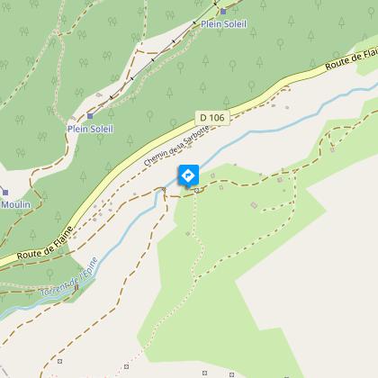
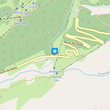
Departure from the Pas à l'Âne car park. Cross the road, go over the bridge and take the path marked "Haute Combe" to the mountain chalet (former gîte). Continue along the path in the direction of the mountain chalets until you reach the Molliets chairlift. Walk there and back.

Technical Information

Walking
Difficulty
Easy
Duration
2h
Dist.
3.3 km
Show more

Altimetric profile

Starting point

Route de Flaine , 74300   Les Carroz-d'Arâches
Lat : 46.021753Lng : 6.67104

Additional information

Environments

Mountain location

Updated by

Office de Tourisme Les Carroz d'Arâches - 24/06/2024
www.lescarroz.com
Report a problem

Open period

From 01/01 to 12/01 : open daily.

Contact

Phone : 04 50 90 00 04

Type of land

Stone
Ground
Not suitable for strollers

Animals accepted

Animals are accepted.
Ratings and reviews

To see around
See more
Open
Close
Show
Show
Show
Show
Show
Show
Show
Show
Show
Show
Show
Caution!
We have no information on the difficulty of this circuit. You may encounter some surprises along the way. Before you go, please feel free to inquire more and take all necessary precautions. Have a good trip! 🌳🥾