Alert
Alerts
Le Sentier du Puy de la Tourte


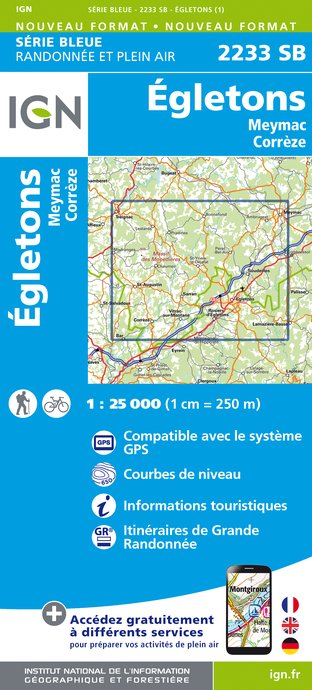
IGN cards


Description
At the summit of Puy de la Tourte, a window on the landscape takes you all the way to the Sancy and Cantal massifs. An ascent lulled by a forest atmosphere takes you to the summit (852 m), where a landscaped area and an exceptional viewpoint await you. Overlooking the Ventadour region and the town of Egletons, this panorama will take you to the gateway to Auvergne, guarded by the upper Dordogne valley. At the foot of the puy, archaeological digs have revealed the presence of a Gallo-Roman site.
Departure: Entrance to the trail. Duration: 1h30. Distance: 5.1 km. Difficulty: medium. Marking: yellow. To view this circuit in 3D, go to: rando-millevaches.fr
Technical Information
Altimetric profile
Starting point
Additional information
Typologie de l'itinéraire
Loop
Durée moyenne de l'expérience
1 to 2 hours
Thèmes
Natural
Data author
