Alert
Alerts
Harriondo - Trail


IGN cards


Description
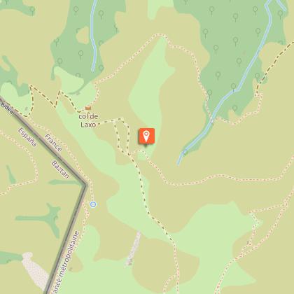
Modified itinerary : Distance 8.8 km - Elevation gain: 550 m - At the foot of the Iparla ridges, this route offers the hiker beautiful scenery. The ascent of the Harriondo massif overlooks the Baztan valley on one side and the entrance to the Nive des Aldudes valley on the other. At the highest point of the hike, flocks of manex (a local breed of sheep) will certainly be present to enhance the walk amidst the ruins of the bordes, witnesses of a pastoral activity that has lasted through the ages. During the return to the village of Bidarray, the hiker will be able to benefit from the crossing of a forest to discover some beautiful specimens of oaks tauzins, species little represented in France.
Technical Information
Altimetric profile
Starting point
Steps
Points of interest
Additional information
Balisage
Yellow
Trait - Balisage directionnel sur supports locaux
Typologie de l'itinéraire
Loop
Thèmes
Natural
Durée moyenne de l'expérience
Over 4 hours
Equipements
Ablutions
Data author


