Alert
Alerts


Hike around la Barme


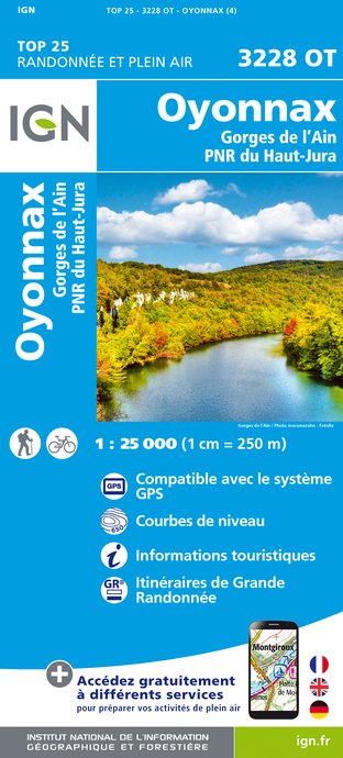
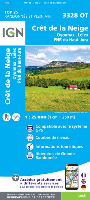
IGN cards


Description
From the sunny hillside of the Bienne valley to the shaded and wooded hillside of the Ain valley, a long walk linking the industrious hamlets around Montcusel and Martinga.
From the town hall (yellow waymarking), the trail descends to the village centre in MONTCUSEL, before ascending to the left via “rue de la niella” to reach la Neyelle. Follow the shaded path to the right and exit onto the hand-gliding take-off area. Continue on the main road that descends southwards.
Branch off to the east, then head north, go past the Cul de la Pra and then ascend to the hamlet of GRAND SERVE. Follow a road to the right until you reach la Queille after two bends. Descend on a good path along the side of the hill looking over Douvre. Arrive at les Vignes (wide bend).
Continue to your left to the bottom of a pasture. A gravel path, with two bends, opens onto a meadow (boxwood, junipers, pine trees, white birches). Head along the pasture and continue north on a sunken path. Reach Chanon.
Continue on the road to your right until you come to CHANON LAKE, and then la Côte de Venière. The stone path to your left borders the meadows before reaching Chemin de Cruzille, under the forest canopy. Head under a power line (viewpoint over the Ain valley at the foot of the Vouglans dam). Take an earthy path in a southwestern direction heading along the Owl’s mound. The stony path passes through la Meille and descends to NEZAN.
Follow the road to the left and, at a drinking trough, ascend to the right on a trail followed by a road. Around 50 m after a pass (725 m, viewpoint), return to MONTCUSEL to the right.
Technical Information
Altimetric profile
Starting point
Points of interest


Additional information
Departure
Near the town hall, Montclusel
Arrival
Near the town hall, Montclusel
Ambiance
The charm of this hike lies in the swallowed valleys, the opposition of more or less abrupt slopes, the contrast of colours every season, the purity of limestone rocks and the blue reflections of the Coiselet lake. The practiced eye may even see snake eagles gliding above in search of food.
Access
12 km south of Moirans-en-Montagne via the D 299 and the D 295.
Advised parking
near the town hall
Public transport
To visit and get about in the High-Jura, visit www.reshaut-jura.fr, the eco-mobility portal listing all means of transport within the Park.
Advice
Be careful, there are many successive ascents and descents.
This trail passes through pastures with livestock and forest paths. To respect the owners and farmers granting you passage, and for the security of livestock and wild fauna, we ask that you remain on the waymarked paths. Use the adapted passageways to get across fencing and be sure to close gateways behind you.
Please keep your dog on a lead if you have one.
Wild flowers are beautiful, they may be rare and protected and often wilt quickly. Do not pick them! They will delight the next hikers.
In case of forest works (felling, skidding, etc.), for your safety, know when to stop and turn around.
