Alert
Alerts
Boucle de Cantelauzel à Sagelat


IGN cards


Description
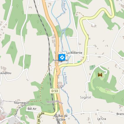
From the call sign in the town hall square, take the porch between the town hall and the war memorial. Then turn right on rue de la Source. Cross the Nauze river and 50 m. later, at the well, follow the small road on the left. At the calvary, turn right. At the main road, go up in front of you, direction "les Fargues". After 400 m., turn left towards "la Banne". After 100 m., go up to the right.
Technical Information
Altimetric profile
Starting point
Additional information
Contact
Fixed telephone : +33 5 53 29 10 20
Office de tourisme du Pays de Belvès
e-mail : contact@tourisme-belves.com
Office de tourisme du Pays de Belvès
Web site (URL) : www.tourisme-belves.com
Office de tourisme du Pays de Belvès
Balisage
Yellow
Typologie de l'itinéraire
Loop
Thèmes
Cultural
Data author

