Alert
Alerts
Type of practice
Riding
Medium
Presentation
Description
Map
Ratings and reviews
See around
Chemin équestre du Dropt

Credit : x-default
IGN cards

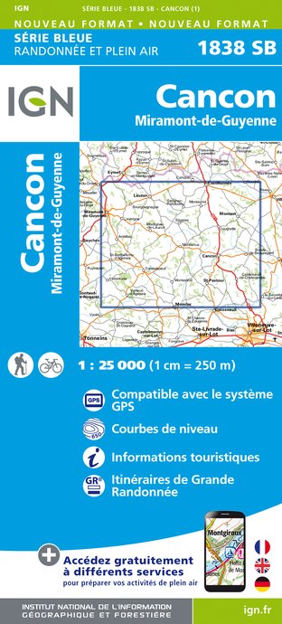
1838SB - CANCON MIRAMONT-DE-GUYENNE
Editor : IGN
Collection : TOP 25 ET SÉRIE BLEUE
Scale : 1:25 000
13.90€

160 AGEN MARMANDE PAYS DE L'AGENAIS
Editor : IGN
Collection : TOP 100
Scale : 1:100 000
8.40€

D46-47 LOT LOT-ET-GARONNE
Editor : IGN
Collection : CARTES DÉPARTEMENTALES IGN
Scale : 1:150 000
5.90€

D24 DORDOGNE
Editor : IGN
Collection : CARTES DÉPARTEMENTALES IGN
Scale : 1:150 000
5.90€

NR11 NOUVELLE-AQUITAINE RECTO/VERSO BASSIN AQUITAIN
Editor : IGN
Collection : CARTES RÉGIONALES IGN
Scale : 1:250 000
6.80€

NR10 NOUVELLE-AQUITAINE RECTO /VERSO LIMOUSIN POITOU
Editor : IGN
Collection : CARTES RÉGIONALES IGN
Scale : 1:250 000
6.80€

EUROPE
Editor : IGN
Collection : DÉCOUVERTE DES PAYS DU MONDE IGN
Scale : 1:2 500 000
7.00€
Technical Information
Riding
Difficulty
Medium
Dist.
233 km
Type of practice
Riding
Medium
Show more
Altimetric profile
Starting point
47290
CANCON
Lat : 44.5361886Lng : 0.62382129
Additional information
Contact
Fixed telephone : +33 5 53 48 02 28
Comité Départemental du Tourisme Equestre de Lot-et-Garonne
e-mail : cdte47@yahoo.fr
Comité Départemental du Tourisme Equestre de Lot-et-Garonne
Web site (URL) : cdte47.ffe.com
Comité Départemental du Tourisme Equestre de Lot-et-Garonne
Balisage
Orange
Balisage à la peinture
Typologie de l'itinéraire
Horse riding circuit
Thèmes
Natural
Data author

proposed by
OT Coeur de Bastides
Ratings and reviews
To see around


