Alert
Alerts
Chemin d'Amadour : étape 12 de Duras à Eymet


IGN cards


Description
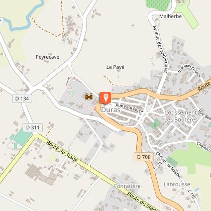
The wide Dropt valley crosses northern Lot-et-Garonne from east to west. The hillsides are gentle, with backdrops of rolling hills and wooded ridges. The landscape can be seen from slight promontories. The Dropt, a discreet river, winds its way through a flat background. Several villages stand out, offering landmarks that punctuate the valley. Duras boasts an emblematic silhouette, visible from afar. Isolated farms and mills dot the landscape.
Technical Information
Altimetric profile
Starting point
Steps
Additional information
Contact
Fixed telephone : +33 5 53 66 14 14
ADRT Lot-et-Garonne - Service Randonnée
e-mail : randonnee@tourisme-lotetgaronne.com
ADRT Lot-et-Garonne - Service Randonnée
Web site (URL) : www.chemin-amadour.fr
Balisage
Panneaux thématiques
Typologie de l'itinéraire
Walking trail
Hiking Route (GR®)
Thèmes
Historical
Religious
Marques et labels
GR® homologué FFRandonnée
Data author


