Alert
Alerts
The wood of the city - PR2

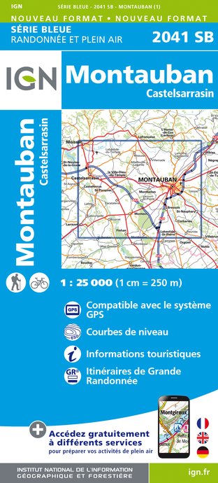
IGN cards


Description
This path takes part of the educational path of Corbarieu. You will get to know the local fauna and flora there. The route will take you to the valley of Guitardio, a haven of freshness during hot summer days.
THE TRAIL STEP BY STEP
Departure and parking: stadium car park
1. Turn left out of the car park and go up Rue du Stade to Rue Jean Jaurès. Cross opposite and take Rue de l'Eglise.
2. Turn right in front of the church and take the chemin de Galineste on the left (in the wrong direction). Continue through the Cité Bellevue, always straight ahead. After 280m continue straight, by a non-motorable road to follow for 300. Take the Côte de Dardé uphill. Turn right into Chemin de la Serre for 490m.
3. Leave the road by taking the chemin de Roquenol on the left. Descend into the undergrowth in the valley of the Guitardio stream that a footbridge overlooks. Go up the stairs and turn left on the Chemin de Morève, which must be followed to the Route du Fau.
4. Go down this on the left, then take the first on the left: Chemin de Cheminat. Continue straight on rue Joliot Curie, then right on rue du 8 mai 1945. In the main street, turn left, pass in front of the town hall and turn right to return to the car park.
PRACTICAL INFORMATION
Distance: 5.4km
Duration: 1h10
Elevation: 89-145m
Difficulty: easy
TO SEE NEARBY
Tarn pier, Touron washhouse
Technical Information
Altimetric profile
Starting point
Additional information
Updated by
Office de Tourisme du Grand Montauban - 24/06/2024
www.montauban-tourisme.com/
Report a problem
Open period
All year round.
Contact
Phone : 05 63 63 60 60
Type of land
Grit


