Alert
Alerts
The Fau loop - PR5

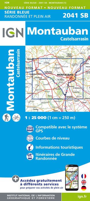
IGN cards


Description
Between the locality of Fau and the Tourmet valley, this short walk will offer you beautiful views of the Tarn plain. From this path, you can join the paths of Corbarieu.
THE TRAIL STEP BY STEP
Departure and parking: Fau primary school
1. Towards the back of the car park, take Chemin des Carrières, at the foot of the embankment. Cross the Vignarnaud road and descend the Treilles path for 300m. Turn left and go down the path through the woods to the road. Turn left and descend to the bottom of the valley.
2. Turn left and go up Chemin de Bardissou. Continue to the intersection with the road.
3. Turn left and go up towards Le Fau for 450m. Continue for 195m to find the intersection with Chemin de Carreyrat and the school car park.
THE FAU
"Fau" means beech in Occitan. This name seems to indicate that a beech forest once occupied this place.
PRACTICAL INFORMATION
Distance: 3.5km
Duration: 0h40
Elevation: 117-202m
Difficulty: Medium
TO SEE NEARBY
Church of the Nativity of Our Lady
Technical Information
Altimetric profile
Starting point
Additional information
Updated by
Office de Tourisme du Grand Montauban - 24/06/2024
www.montauban-tourisme.com/
Report a problem
Open period
All year round.
Contact
Phone : 05 63 63 60 60
Type of land
Grit


