Alert
Alerts
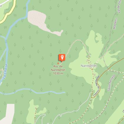
Hike: The Roc de Nantbellet


IGN cards


Description
A family hike starting in the forest and then leading you to enjoy numerous varied views of the surrounding mountains (l'Arclosan, le Charvin, les Hautes Bauges, le Mont-Blanc...) as well as Faverges-Seythenex.
Technical Information
Altimetric profile
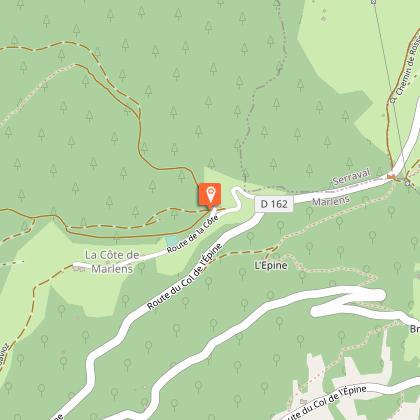
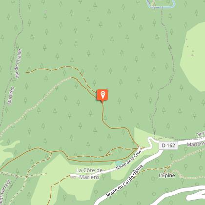
Starting point
Steps

Additional information
Updated by
Office de Tourisme des Sources du Lac d'Annecy - 26/07/2024
www.sources-lac-annecy.com
Report a problem
Guidebook with maps/step-by-step
1/ From the pylon carpark, go right through the track that goes down to the forest towards le Replain.
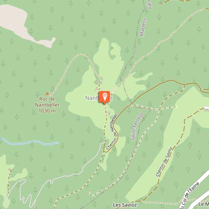
2/ Then, follow the path ascending slightly towards Nantbellet hamlet.
3/ Turn right towards the chapel and the Roc de Nantbellet.
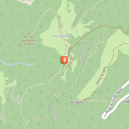
4/ Retrace your steps to the entrance of the hamlet and keep straight ahead on the track following the signs "Parking du pylône par le Guillon" up to the end.
5/Go to the ruins of the old farms in Guillon.
6/ Follow the track leading you to the Savioz, to the Côte de Marlens, and then back to your starting point.
Open period
All year round.
Subject to favorable weather.
Contact
Phone : 04 50 44 60 24
Email : accueil@sources-lac-annecy.com
Website : www.sources-lac-annecy.com
Facebook : www.facebook.com/sources.lac.annecy.tourisme/
