Alert
Alerts


The road from Conques to Toulouse

IGN cards


Description
Between the Massif Central and the Midi Toulousain, is a territory which maintains a close connection with nature.
It is the reign of vertiginous panoramas, where the schist and granite plateaus and the limestone causses compete with the forests, gorges and rivers, while the perched villages, like lookouts, look up to the sky.
Technical Information
Altimetric profile
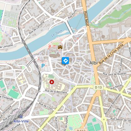
Starting point
Points of interest
Additional information
Updated by
Tarn Attractivité - 26/03/2025
www.tourisme-tarn.com
Report a problem
Open period
All year round.
Contact
Phone : 05 63 47 73 06
Email : tarn@ffrandonnee.fr
Website :
www.tourisme-tarn.com/a-voir-a-faire/balades-et-randonnees/chemins-de-saint-jacques
www.randonnee-tarn.com
Data author
