Alert
Alerts
The Heights of Maladène
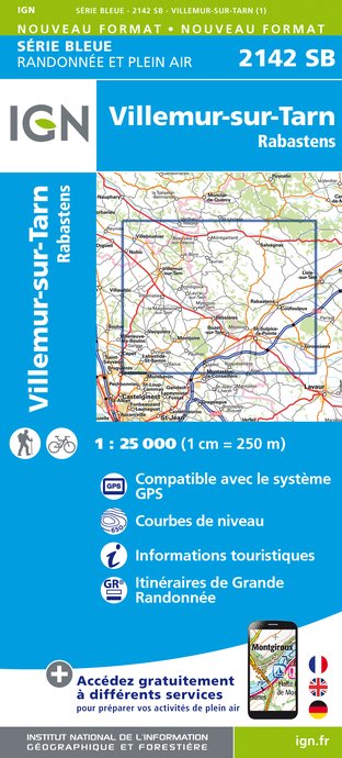
IGN cards


Description
In the Pays Salvagnacois, between vineyards and groves, the paths run alongside stone and terracotta farmhouses. Further up, on the heights of Sivens, they become forest paths, leading you to panoramic views over the Tescou valley.
Salvagnac, an ancient fortified village, is home to the castle towers (14th-15th centuries), Notre-Dame church and its treasure trove of sacred art, including a processional cross dating from 1514, and frescoes by Nicolaï Greschny (mid-20th century).
In this land of cultivated fields, preference is given to traditional cereals, including wheat. Planted on the hillsides of the Tarn, it provides millers with pure flour for making Lo Cantél, a recipe based on traditional practices that produces a soft, crusty loaf with a melting creamy crumb.
Technical Information
Altimetric profile
Starting point
Additional information
Updated by
Office de Tourisme La Toscane Occitane - 12/11/2025
www.la-toscane-occitane.com/
Report a problem
Contact
Phone : 0 805 400 828
Email : info@latoscaneoccitane.com
Website : https://www.la-toscane-occitane.com
Topo guides and map references
Topo guides references :
RandoTarn Sheet for sale in all Tourist Information Offices in la Toscane Occitane: 0.50€ each / 7€ for the box.
Data author
