Alert
Alerts
Hike
IGN cards


Description
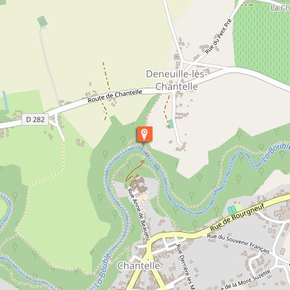
This "royal" walk offers exceptional views of Chantelle and its abbey, once a fortified castle. Not forgetting the gorges, with their polished pebbles, locks and unchanging river murmur...
Technical Information
Altimetric profile
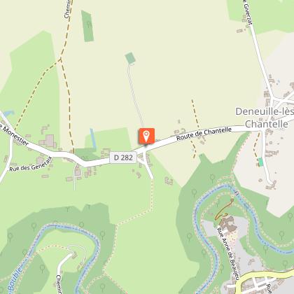
Starting point
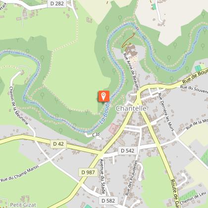
Steps
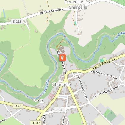
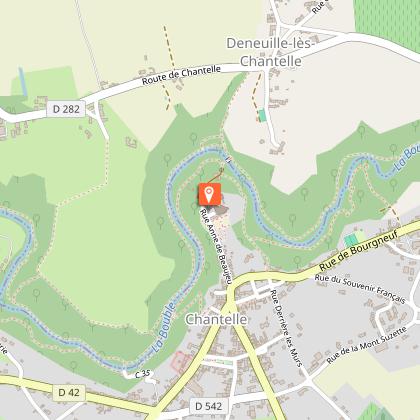
Points of interest


Additional information
Updated by
Office de tourisme Val de Sioule - 24/11/2025
www.valdesioule.com
Report a problem
Open period
All year round.
Contact
Phone : 04 70 45 32 73
Email : accueil@vdstourisme.com
Website : http://www.valdesioule.com
Facebook : https://www.facebook.com/valdesiouletourisme/
Type of land
Stone
Ground
Grit
Not suitable for strollers
Animals
Yes
Data author
