Alert
Alerts
Type of practice
Walking
Hard
Presentation
Map
Points of interest
Ratings and reviews
See around
GRP Midi Corrézien - Etape 3 : de Collonges la Rouge au Pescher


Credit : Grégory ROHART
IGN cards

2135SB - BRIVE-LA-GAILLARDE COLLONGES-LA-ROUGE BEYNAT
Editor : IGN
Collection : TOP 25 ET SÉRIE BLEUE
Scale : 1:25 000
13.90€

154 BRIVE-LA-GAILLARDE TULLE FIGEAC PNR DES CAUSSES DU QUERCY (NORD)
Editor : IGN
Collection : TOP 100
Scale : 1:100 000
8.40€

D46-47 LOT LOT-ET-GARONNE
Editor : IGN
Collection : CARTES DÉPARTEMENTALES IGN
Scale : 1:150 000
5.90€

D15-19 CANTAL CORREZE
Editor : IGN
Collection : CARTES DÉPARTEMENTALES IGN
Scale : 1:150 000
5.90€

D24 DORDOGNE
Editor : IGN
Collection : CARTES DÉPARTEMENTALES IGN
Scale : 1:150 000
5.90€

EUROPE
Editor : IGN
Collection : DÉCOUVERTE DES PAYS DU MONDE IGN
Scale : 1:2 500 000
7.00€
Technical Information
Walking
Difficulty
Hard
Dist.
20 km
Type of practice
Walking
Hard
Show more
Altimetric profile
Starting point
19500
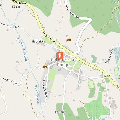
COLLONGES-LA-ROUGE
Lat : 45.060939Lng : 1.654225
Points of interest
Additional information
Contact
Fixed telephone : +33 5 55 26 91 90
Cellular telephone : +33 6 69 44 11 27
Web site (URL) : correze.ffrandonnee.fr/
e-mail : correze@ffrandonnee.fr
Balisage
Yellow and red (GRP®)
Typologie de l'itinéraire
Hiking Route (GR®)
Thèmes
Cultural
Natural
Marques et labels
GRP® homologué FFRandonnée
Data author

proposed by
Corrèze Tourisme
9 rue René et Émile Fage - Bat F – 4ème étage - BP 199 19005 TULLE Cedex France
Ratings and reviews
To see around


