Alert

Alerts

To see around
See more
Open
Close
Show
Show
Show
Show
Show
Show
Show
Show
Show
Show
Show

Oups... It would appear that Cirkwi does not have permission to use your location.

OSM Map
OSM Map
OpenStreetMap
Satellite images
Satellite images
Google
GoogleMap Map
GoogleMap Map
Google
Hybrid Map
Hybrid Map
Google
IGN - France
IGN - France
IGN
Cadastral Plan
Cadastral Plan
IGN
Presentation
Description
Map
Steps
Points of interest
Ratings and reviews
See around

Boucle de Saint-Cloud - Montpeyroux

Eglise de Montpeyroux © MC Grasseau - OT Bergerac (1)
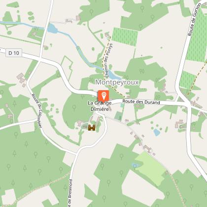
Grange Dimiere Montpeyroux © MC Grasseau - OT Bergerac (1)
Paysages campagne Montpeyroux © MC Grasseau - OT Bergerac (12)
Boucle de Saint-Cloud - Montpeyroux

Description

Between vineyards and history, come and discover the loop of Saint Cloud de Montpeyroux: its church, the castle of Matecoulon and the dimière barn. This small village nestled on the top of a hill, Montpeyroux, "Monte Petroso", reflects the calm of the Dordogne countryside. Enjoy your hike

Technical Information

Walking
Difficulty
Easy
Duration
3h15mn
Dist.
10 km
Show more

Altimetric profile

Starting point

, 24610   MONTPEYROUX
Lat : 44.9192883Lng : 0.0559991

Points of interest

Additional information

Contact

Fixed telephone : +33 5 53 57 03 11
Office de Tourisme Bergerac - Sud Dordogne

Balisage

Yellow

Typologie de l'itinéraire

Loop

Thèmes

Natural

Data author

Image Dordogne
proposed by Dordogne
24000 France

Ratings and reviews

To see around
See more
Open
Close
Show
Show
Show
Show
Show
Show
Show
Show
Show
Show
Show
Caution!
We have no information on the difficulty of this circuit. You may encounter some surprises along the way. Before you go, please feel free to inquire more and take all necessary precautions. Have a good trip! 🌳🥾