Alert

Alerts

To see around
See more
Open
Close
Show
Show
Show
Show
Show
Show
Show
Show
Show
Show
Show

Oups... It would appear that Cirkwi does not have permission to use your location.

Presentation
Description
Map
Ratings and reviews
See around

Le Reychasset

Petite route presque désertique
Beau point de vue en chemin
Sentier saupoudré de neige
Peu après le passage de la neige...
Credit : CCSB

IGN cards

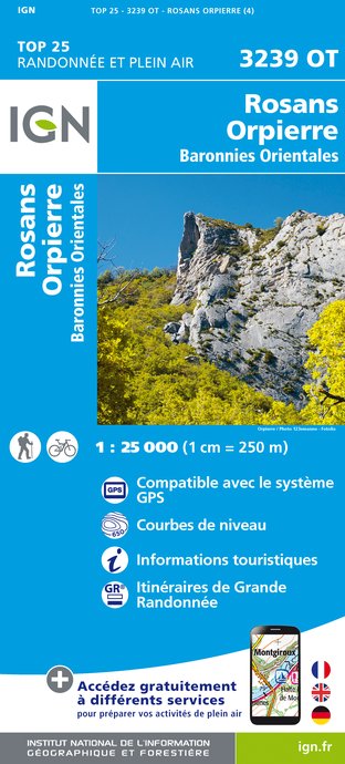
3239OT - ROSANS ORPIERRE BARONNIES ORIENTALES
Editor : IGN
Collection : TOP 25 ET SÉRIE BLEUE
Scale : 1:25 000
13.90€
VEL01 - LA DRÔME A VELO
Editor : IGN
Collection : DECOUVERTE A VELO
Scale : 1:105 000
9.10€
VEL03 - LE VAUCLUSE A VÉLO
Editor : IGN
Collection : DECOUVERTE A VELO
Scale : 1:100 000
9.10€
TOP100D26 - DRÔME VALENCE MONTÉLIMAR DIE PNR DES BARONNIES PROVENÇALES PNR DU VERCORS
Editor : IGN
Collection : TOP 100
Scale : 1:100 000
8.40€
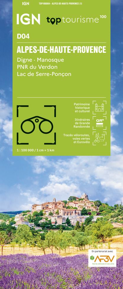
TOP100D04 - ALPES-DE-HAUTE-PROVENCE DIGNE MANOSQUE PNR DU VERDON LAC DE SERRE-PONÇON
Editor : IGN
Collection : TOP 100
Scale : 1:100 000
8.40€
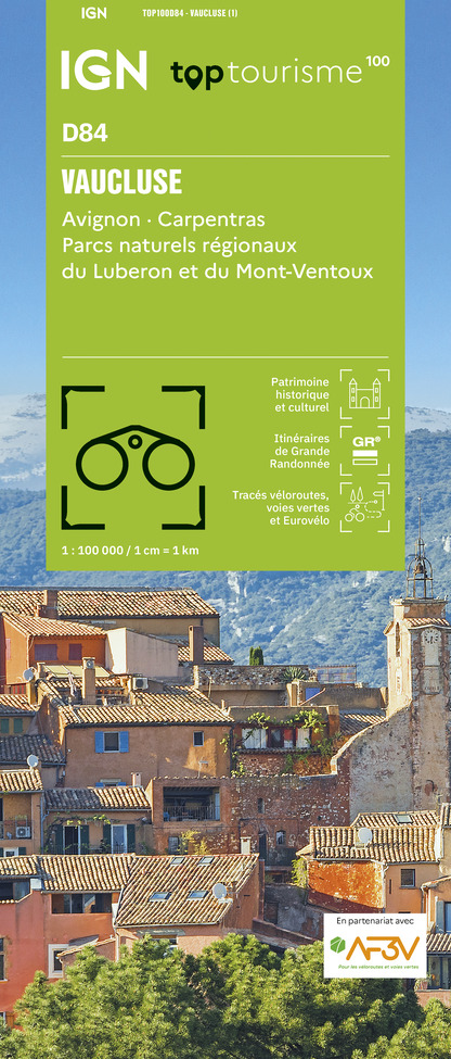
TOP100D84 - VAUCLUSE AVIGNON CARPENTRAS PARCS NATURELS RÉGIONAUX DU LUBERON ET DU MONT-VENTOUX
Editor : IGN
Collection : TOP 100
Scale : 1:100 000
8.40€
D07-26 ARDÈCHE DRÔME
Editor : IGN
Collection : CARTES DÉPARTEMENTALES IGN
Scale : 1:150 000
5.90€
D04-05 ALPES-DE-HAUTE-PROVENCE HAUTES-ALPES
Editor : IGN
Collection : CARTES DÉPARTEMENTALES IGN
Scale : 1:150 000
5.90€
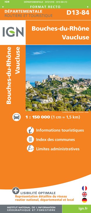
D13-84 BOUCHES-DU-RHÔNE VAUCLUSE
Editor : IGN
Collection : CARTES DÉPARTEMENTALES IGN
Scale : 1:150 000
5.90€
NR14 AUVERGNE-RHÔNE-ALPES RECTO/VERSO MASSIF CENTRAL
Editor : IGN
Collection : CARTES RÉGIONALES IGN
Scale : 1:250 000
6.80€
NR16 PROVENCE-ALPES-CÔTE D'AZUR
Editor : IGN
Collection : CARTES RÉGIONALES IGN
Scale : 1:250 000
6.80€
NR15 AUVERGNE-RHÔNE-ALPES RECTO/VERSO MASSIF ALPIN
Editor : IGN
Collection : CARTES RÉGIONALES IGN
Scale : 1:250 000
6.80€
EUROPE
Editor : IGN
Collection : DÉCOUVERTE DES PAYS DU MONDE IGN
Scale : 1:2 500 000
7.00€

Description

This circuit around Peylan mountain offers many outlooks on Barronies’ huge spaces, cool paths and the discovery of a small sheepfold beyond Reychasset pass.


Take the departemental road D 116 towards « Verclause, - Col du Reychasset ». Go along Villebois’ rapid streams.


On your right, take the hiking route right before the second bridge. Keep on the track going up into Baumes ravine which extends into a flat area where you have an overview on the landscapes.


At the juction, turn left towards Montaux pass (1150 meters). Go along lavender fields then go down along the wide track until Reychasset pass (1052 meters).


Cross the road and go straight forward.


At Ebastier pass, turn left and cross a brook to hike up the route. Go through the Bois Morin path ending up on a track. Go on straight forward until the village can be seen. Go down the hairpin bends to the road.


Once the road reached, turn left.


At the first headpin bend, take on your left the old road of Villebois. Go through the old village by the stairs and join the departure point by the road.

Technical Information

Walking
Difficulty
Easy
Duration
3h
Dist.
11 km
Show more

Altimetric profile

Starting point

Lat : 44.3171406Lng : 5.6104625

Additional information

Public transport

Limitons les déplacements, pensons aux transports en commun et au covoiturage : zou.maregionsud.fr

Advised parking

There is a parking lot into Villebois-les-Pins village

Access

From Laragne (21 km), take the departemental road D 1075 then the departemental road D 30 at Eyguians turnoff. Once Orpierre overtaken, follow the departemental road D 130 towards Villebois-les-Pins.

Arrival

Intersection D 116 et D 65b, Villebois-les-Pins

Departure

Intersection D 116 et D 65b, Villebois-les-Pins

Data author

Ratings and reviews

To see around
See more
Open
Close
Show
Show
Show
Show
Show
Show
Show
Show
Show
Show
Show
Caution!
We have no information on the difficulty of this circuit. You may encounter some surprises along the way. Before you go, please feel free to inquire more and take all necessary precautions. Have a good trip! 🌳🥾