Alert
Alerts
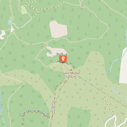
Le Rocher Saint-Michel


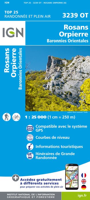
IGN cards


Description
Sporty round hike, alternating tracks, balcony paths and viewpoints. At the top, an orientation table offers a superb panorama of the Alpine peaks.
From the village square fountain, follow the D 30 towards Laragne, then take the small road on the right towards the Camping des Princes d'Orange and, after the bridge, go up the main road which runs alongside the campsite. Continue on the track until you reach a fork. Go up to the right on the main track. Pass in front of the old Paturle farm, ignore the path that goes to the right. Continue uphill until a second fork ( which is a variant via the Bessons plain).
Continue to the right on the GR and, after a long ascending crossing overlooking the ravine de Bagnols, you’ll reach an intersection (1031 m).
Continue a few steps on a track and find, on the left, the path that winds steeply up and leads to a forest track.
Follow then the yellow marked track to the left, continue to Collet de Bouzon (1126 m). Cross the ONF fence ( national forest Office) and continue until you reach the Saint Michel orientation table (1216 m).
Take the path that curves to the left of the orientation table and descend along the ridge up to a fork.
At that intersection, go down to the right direction "Orpierre par la Plaine des Bessons - 2.8 km". Cross the wooded plain, then descend the path until you’ll reach the track. The same way in reverse brings you to the church square .
Technical Information
Altimetric profile
Starting point
Points of interest
Additional information
Public transport
Let’s limit our trips and use public transportation and carpooling: zou.maregionsud.fr
Advice
Caution : the descent is sometimes quite steep!
Advised parking
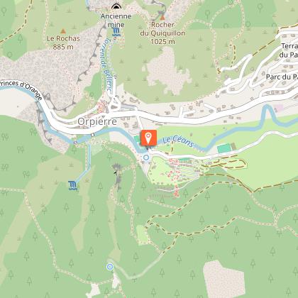
Place de l'église parking lot, in Orpierre
Access
From Laragne (13 km), take the D 1075 then the D 30 (Eyguians junction) to reach the district of Orpierre.
Arrival
Place de l'Eglise, Orpierre
Departure
Place de l'Eglise, Orpierre
Data author
