Alert

Alerts

To see around
See more
Open
Close
Show
Show
Show
Show
Show
Show
Show
Show
Show
Show
Show

Oups... It would appear that Cirkwi does not have permission to use your location.

Presentation
Description
Map
Points of interest
Ratings and reviews
See around

Sommet de Chamouse

En direction du sommet de Chamouse
Vue panoramique depuis le sommet
Falaises sous le sommet
Credit : CCSB

IGN cards

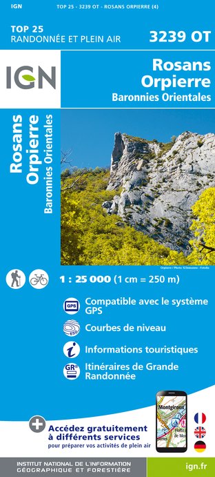
3239OT - ROSANS ORPIERRE BARONNIES ORIENTALES
Editor : IGN
Collection : TOP 25 ET SÉRIE BLEUE
Scale : 1:25 000
13.90€
VEL01 - LA DRÔME A VELO
Editor : IGN
Collection : DECOUVERTE A VELO
Scale : 1:105 000
9.10€
VEL03 - LE VAUCLUSE A VÉLO
Editor : IGN
Collection : DECOUVERTE A VELO
Scale : 1:100 000
9.10€
TOP100D26 - DRÔME VALENCE MONTÉLIMAR DIE PNR DES BARONNIES PROVENÇALES PNR DU VERCORS
Editor : IGN
Collection : TOP 100
Scale : 1:100 000
8.40€
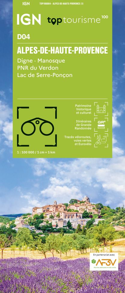
TOP100D04 - ALPES-DE-HAUTE-PROVENCE DIGNE MANOSQUE PNR DU VERDON LAC DE SERRE-PONÇON
Editor : IGN
Collection : TOP 100
Scale : 1:100 000
8.40€
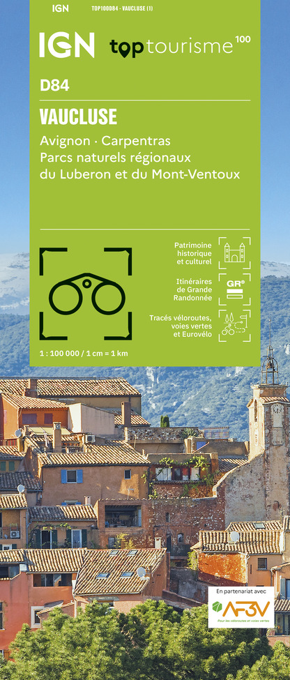
TOP100D84 - VAUCLUSE AVIGNON CARPENTRAS PARCS NATURELS RÉGIONAUX DU LUBERON ET DU MONT-VENTOUX
Editor : IGN
Collection : TOP 100
Scale : 1:100 000
8.40€
D07-26 ARDÈCHE DRÔME
Editor : IGN
Collection : CARTES DÉPARTEMENTALES IGN
Scale : 1:150 000
5.90€
D04-05 ALPES-DE-HAUTE-PROVENCE HAUTES-ALPES
Editor : IGN
Collection : CARTES DÉPARTEMENTALES IGN
Scale : 1:150 000
5.90€
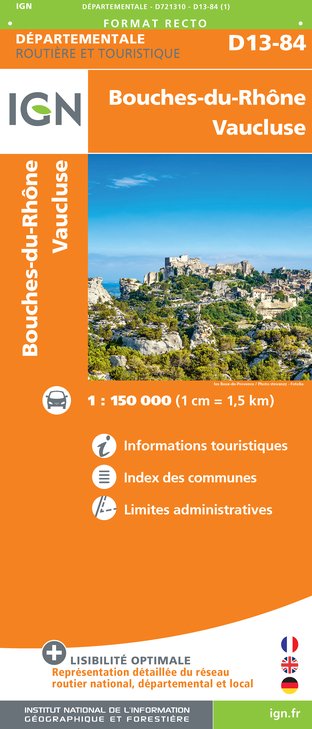
D13-84 BOUCHES-DU-RHÔNE VAUCLUSE
Editor : IGN
Collection : CARTES DÉPARTEMENTALES IGN
Scale : 1:150 000
5.90€
NR14 AUVERGNE-RHÔNE-ALPES RECTO/VERSO MASSIF CENTRAL
Editor : IGN
Collection : CARTES RÉGIONALES IGN
Scale : 1:250 000
6.80€
NR16 PROVENCE-ALPES-CÔTE D'AZUR
Editor : IGN
Collection : CARTES RÉGIONALES IGN
Scale : 1:250 000
6.80€
NR15 AUVERGNE-RHÔNE-ALPES RECTO/VERSO MASSIF ALPIN
Editor : IGN
Collection : CARTES RÉGIONALES IGN
Scale : 1:250 000
6.80€
EUROPE
Editor : IGN
Collection : DÉCOUVERTE DES PAYS DU MONDE IGN
Scale : 1:2 500 000
7.00€

Description

Easy round trip hike for enjoying the panorama at the top.


Go down the pass for 250 m in the direction of "Buis les Baronnies / Montauban sur l'Ouvèze" by road.


At the 1st right turn, at the “Col de Perty” post (1285 m), turn left on the track. Go up  switchbacks until you reach an electricity pylon.

Follow a small path that goes to the right through the boxwoods and rocks. Be careful when descending the ridge, the path is stony and slippery. Pay attention to the left intersection to get back to the ridge. Walk along the ridge to reach the summit of Chamouse.
The same route in the opposite direction brings you back to the starting pont.

Technical Information

Walking
Difficulty
Very easy
Duration
4h
Dist.
8.2 km
Show more

Altimetric profile

Starting point

Lat : 44.2871447Lng : 5.5496607

Additional information

Public transport

Think about public transport and carpooling: zou.maregionsud.fr

Advice

Caution, the path down the ridge is stony and slippery. 

Advised parking

Col de Perty, Laborel

Access

From Laragne (26 km), take the D 1075 then the D 30 (Eyguians junction) towards Orpierre then the D 65 to Laborel and continue towards the Col de Perty. In a hairpin bend on the right, take the road on the left (signpost "DFCI - Tussie reserve").

Arrival

Col de Perty, Laborel

Departure

Col de Perty, Laborel

Data author

Ratings and reviews

To see around
See more
Open
Close
Show
Show
Show
Show
Show
Show
Show
Show
Show
Show
Show
Caution!
We have no information on the difficulty of this circuit. You may encounter some surprises along the way. Before you go, please feel free to inquire more and take all necessary precautions. Have a good trip! 🌳🥾