Alert
Alerts
Type of practice
Walking
Easy
2h
Presentation
Description
Map
Ratings and reviews
See around
The Candesoubre stream


IGN cards
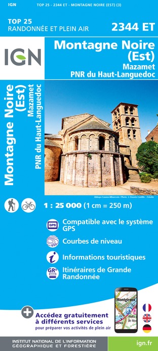
2344ET - MONTAGNE NOIRE (EST) MAZAMET PNR DU HAUT-LANGUEDOC
Editor : IGN
Collection : TOP 25 ET SÉRIE BLEUE
Scale : 1:25 000
13.90€
TOP75022 - HAUT LANGUEDOC
Editor : IGN
Collection : TOP 75
Scale : 1:75 000
9.80€
TOP100D34 - HÉRAULT MONTPELLIER BÉZIERS PNR DU HAUT-LANGUEDOC
Editor : IGN
Collection : TOP 100
Scale : 1:100 000
8.40€

TOP100D81 - TARN ALBI CASTRES PNR DU HAUT-LANGUEDOC
Editor : IGN
Collection : TOP 100
Scale : 1:100 000
8.40€
TOP100D11 - AUDE CARCASSONNE NARBONNE LIMOUX QUILLAN CANAL DU MIDI
Editor : IGN
Collection : TOP 100
Scale : 1:100 000
8.40€
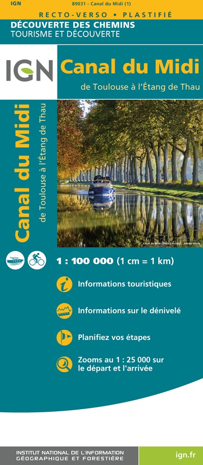
89031 - LE CANAL DU MIDI
Editor : IGN
Collection : DECOUVERTE DES CHEMINS
Scale : 1:100 000
9.10€

D11-81 AUDE TARN
Editor : IGN
Collection : CARTES DÉPARTEMENTALES IGN
Scale : 1:150 000
5.90€

D30-34 GARD HÉRAULT
Editor : IGN
Collection : CARTES DÉPARTEMENTALES IGN
Scale : 1:150 000
5.90€

EUROPE
Editor : IGN
Collection : DÉCOUVERTE DES PAYS DU MONDE IGN
Scale : 1:2 500 000
7.00€
Description
From basins to rapids , in the coolness of the valley …
The waters of the stream Candesoubre reach the Thoré , coming from the Black Mountain with a difference in altitude of 600 m.
This extremely active energy was used to run many mills , today replaced by some small power-stations. The route first follows a shady valley where nature is very important. The lovely stream of Candesoubre goes down from basins to rapids in the middle of rocks, in a cool forest atmosphere . Going through wild ravines , you can see and hear some other small streams . After the hamlet of Gourgne, the path is at the cliffside and follow the stream of Candesoubre to join the hamlet of Labasset.
Technical Information
Walking
Difficulty
Easy
Duration
2h
Dist.
5.8 km
Type of practice
Walking
Easy
2h
Show more
Altimetric profile
Starting point
2
PLACE DU VILLAGE
,
81240
Albine
Lat : 43.461057596018Lng : 2.5393206121502
Data author

proposed by
Office de tourisme Thoré Montagne Noire
avenue de la Ribaute 81240 Albine France
Ratings and reviews
To see around


