Alert

Alerts

To see around
See more
Open
Close
Show
Show
Show
Show
Show
Show
Show
Show
Show
Show
Show

Oups... It would appear that Cirkwi does not have permission to use your location.

OSM Map
OSM Map
OpenStreetMap
Satellite images
Satellite images
Google
GoogleMap Map
GoogleMap Map
Google
Hybrid Map
Hybrid Map
Google
IGN - France
IGN - France
IGN
Cadastral Plan
Cadastral Plan
IGN
Presentation
Description
Map
Points of interest
Ratings and reviews
See around

Boucle de Charlemagne à Saint-Michel l'Ecluse et Léparon

CIMG0462 2
P1140898 2
Boucle de Charlemagne à Saint-Michel l'Ecluse et Léparon

Description

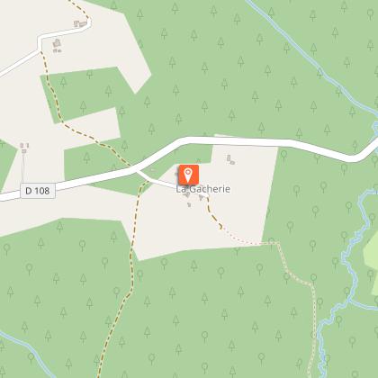
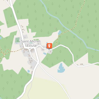
From the call sign on the municipal parking lot (behind the village hall), join the road and turn left towards "Lamouroux" "Le Grollier". After 250 m, take the DFCI track on the left towards "La Gacherie".

Technical Information

Walking
Difficulty
Medium
Duration
6h30mn
Dist.
20 km
Show more

Altimetric profile

Starting point

24490   Saint-Michel L'Ecluse et Léparon
Lat : 45.141768Lng : 0.081211

Additional information

Contact

Fixed telephone : +33 5 53 90 63 74
Office de tourisme du Pays de Saint-Aulaye
e-mail : tourisme.staulaye@gmail.fr
Office de tourisme du Pays de Saint-Aulaye
Web site (URL) : www.tourisme-saintaulaye.fr
Office de tourisme du Pays de Saint-Aulaye

Balisage

Yellow
borne en bois surmontée d'un capuchon jaune

Typologie de l'itinéraire

Loop

Thèmes

Natural

Durée moyenne de l'expérience

Over 4 hours

Animaux bienvenus ?

Oui

Data author

Image Val de Dronne
proposed by Val de Dronne
24310 France

Ratings and reviews

To see around
See more
Open
Close
Show
Show
Show
Show
Show
Show
Show
Show
Show
Show
Show
Caution!
We have no information on the difficulty of this circuit. You may encounter some surprises along the way. Before you go, please feel free to inquire more and take all necessary precautions. Have a good trip! 🌳🥾